Te Wāhipounamu, Aotearoa
Click the thumbnail to view the photo. Please view them full screen (F11).
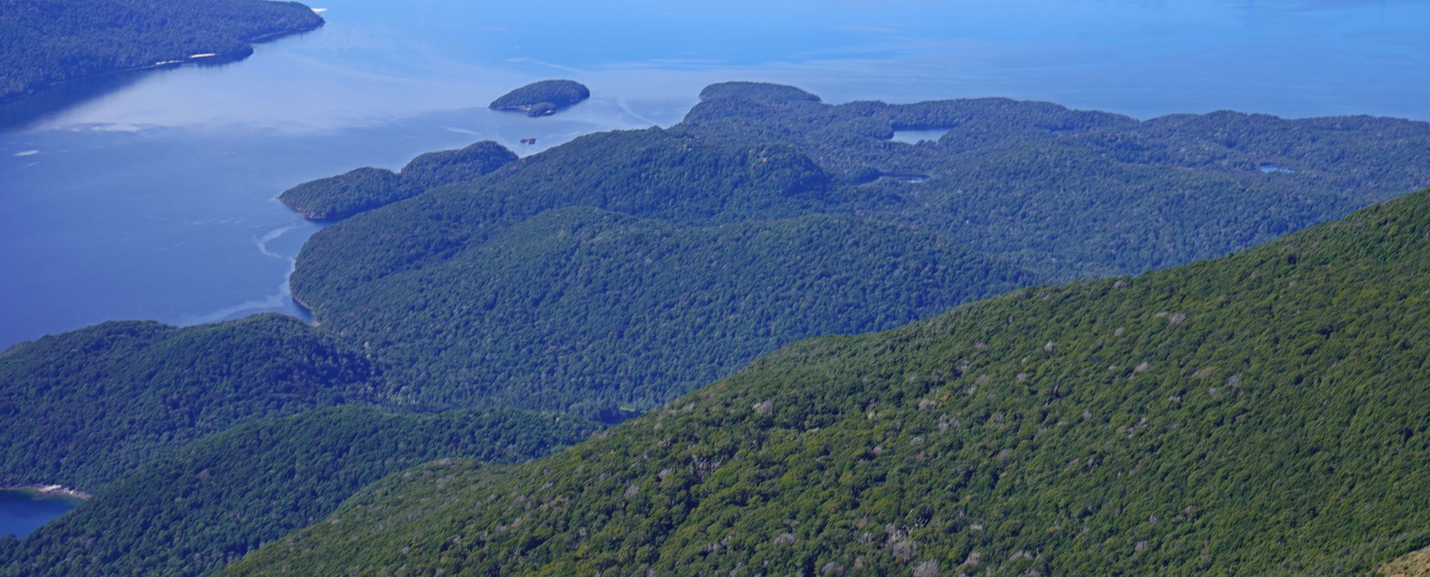
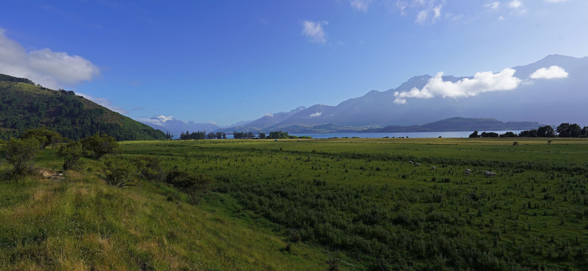
Fiordland
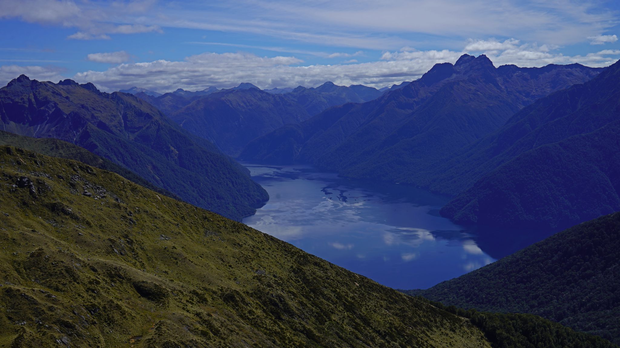
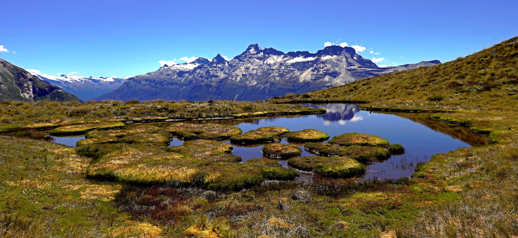
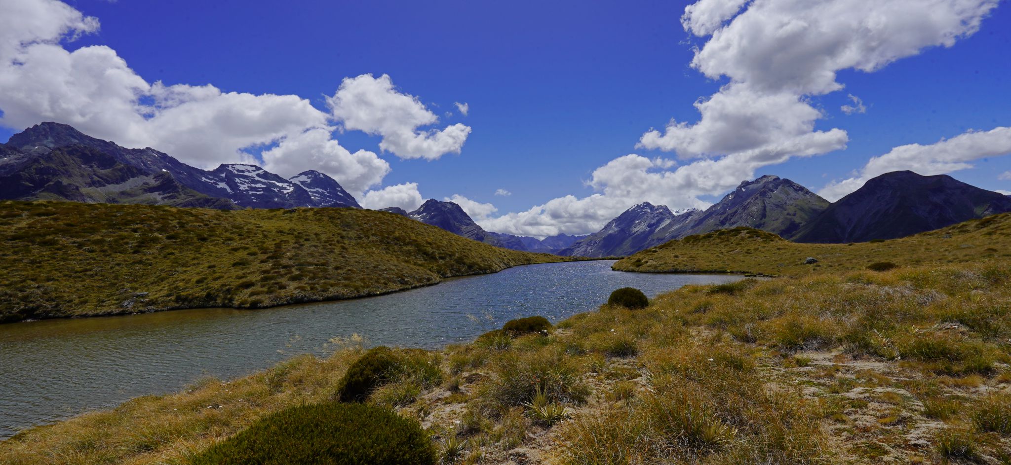
Kepler Track
From the observations of Tycho Brahe and others, the mathematician Kepler showed that the planets move in ellipses with the sun as one focus, that their radii sweep out equal areas in equal times, and that the square of a planet's year is proportional to the cube of the length of the axis of the ellipse. Newton showed that a body moving under an inverse-square-law force would follow such a path, which lent support to his idea that the planets move under the same gravitional forces as affect objects on earth.
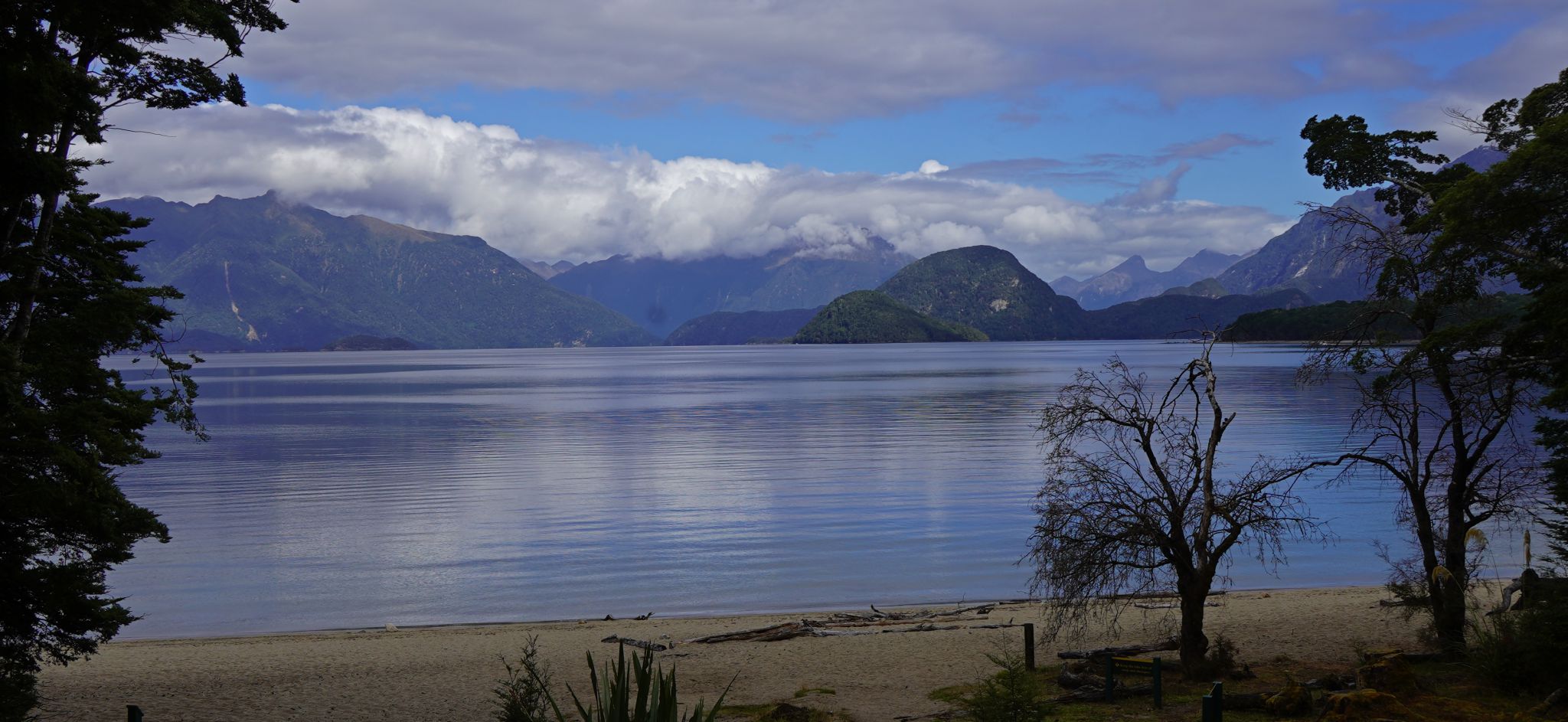

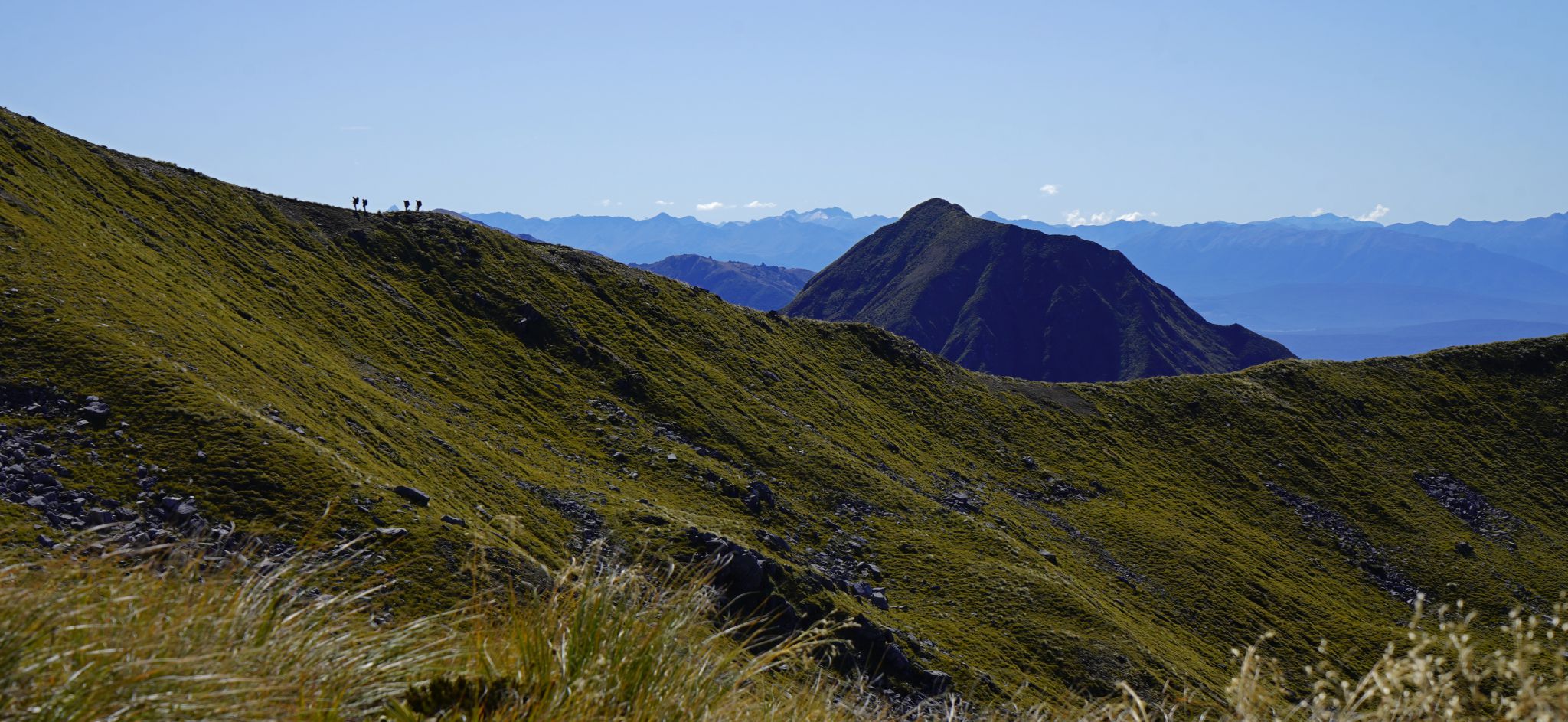
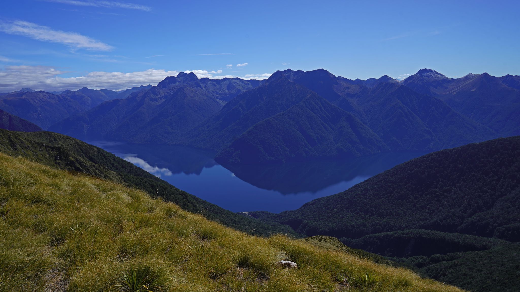
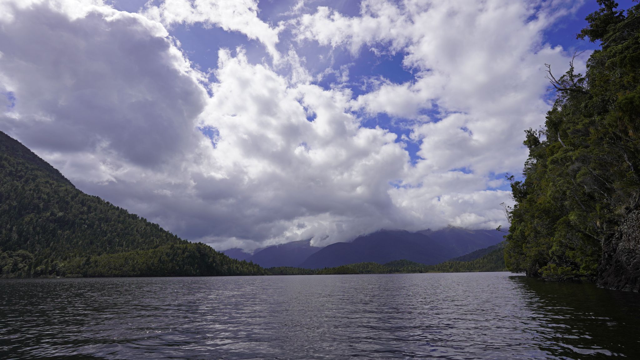
1.Waiau River. 2. Lake Manapouri. 3.Iris Burn valley. 4.Trampers on the track. 5.Lake Te Anau


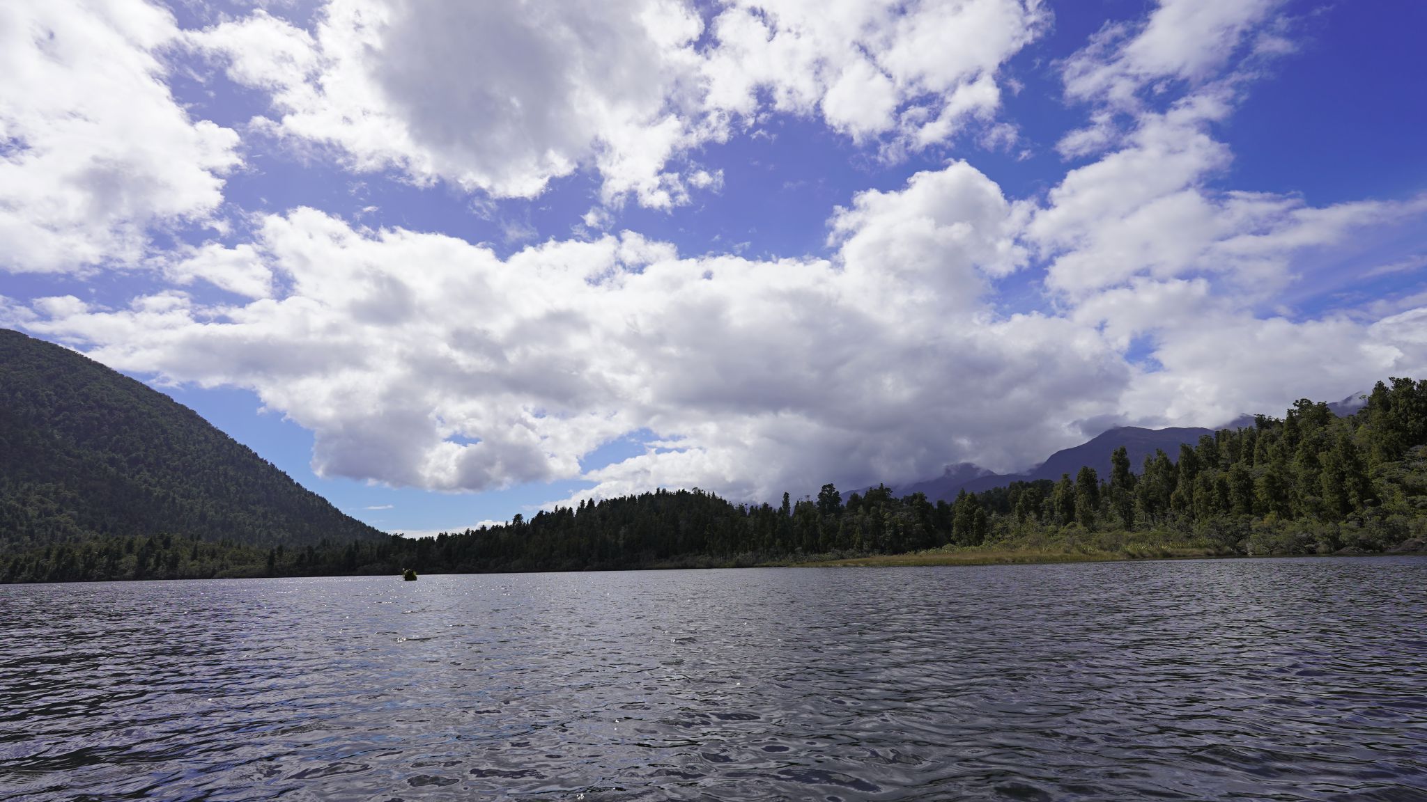
1.Lake Te Anau. 2.Lake Te Anau. 3.Lake Te Anau. 4.Brod Bay campsite
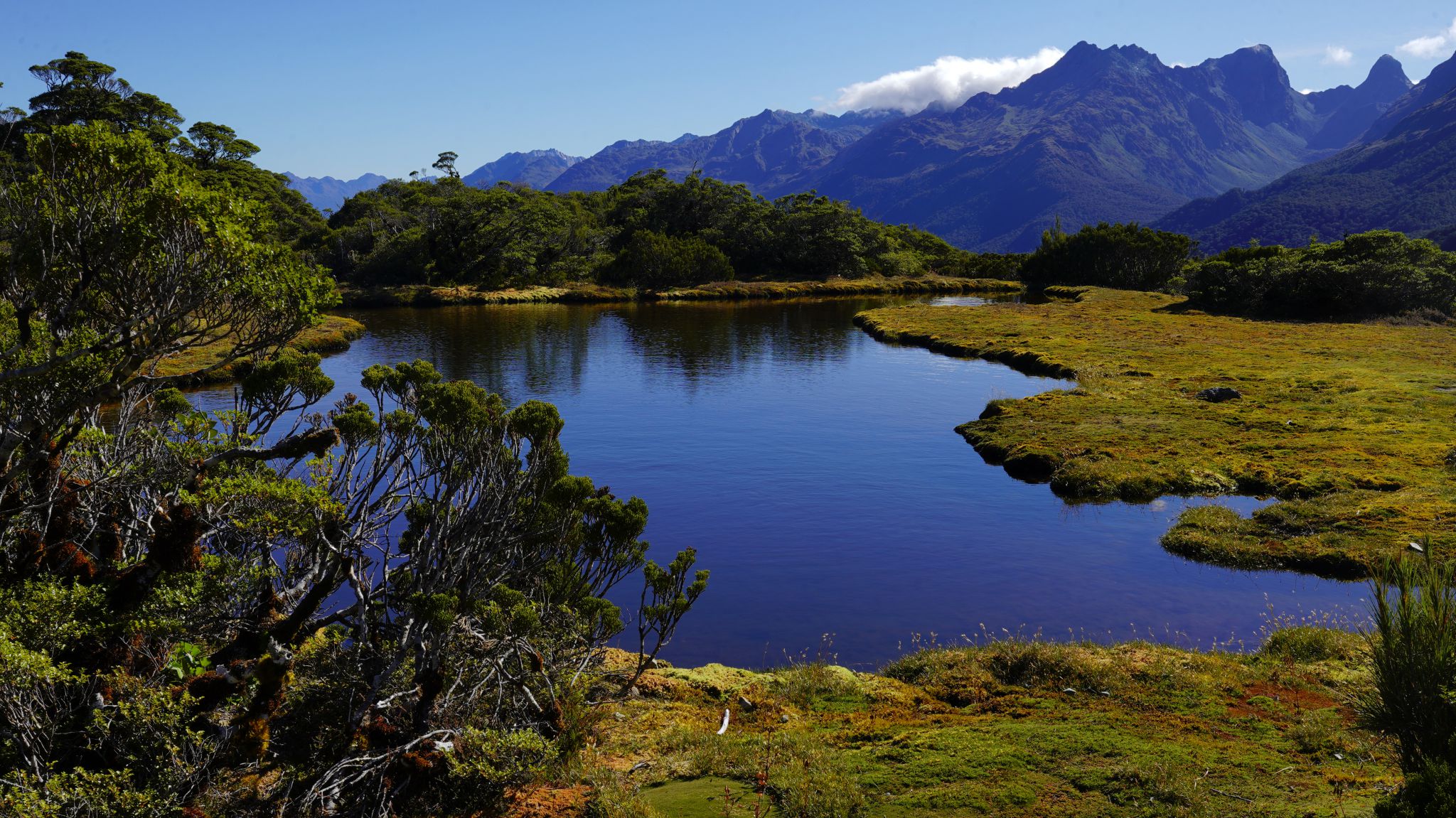
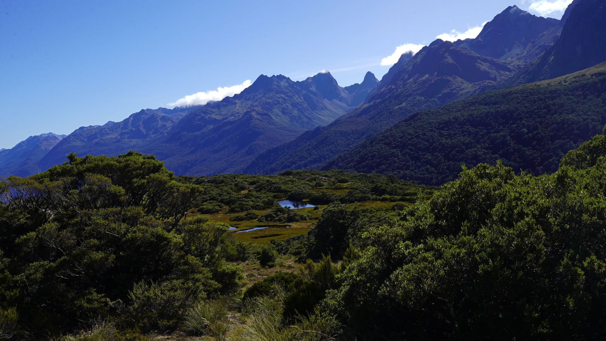
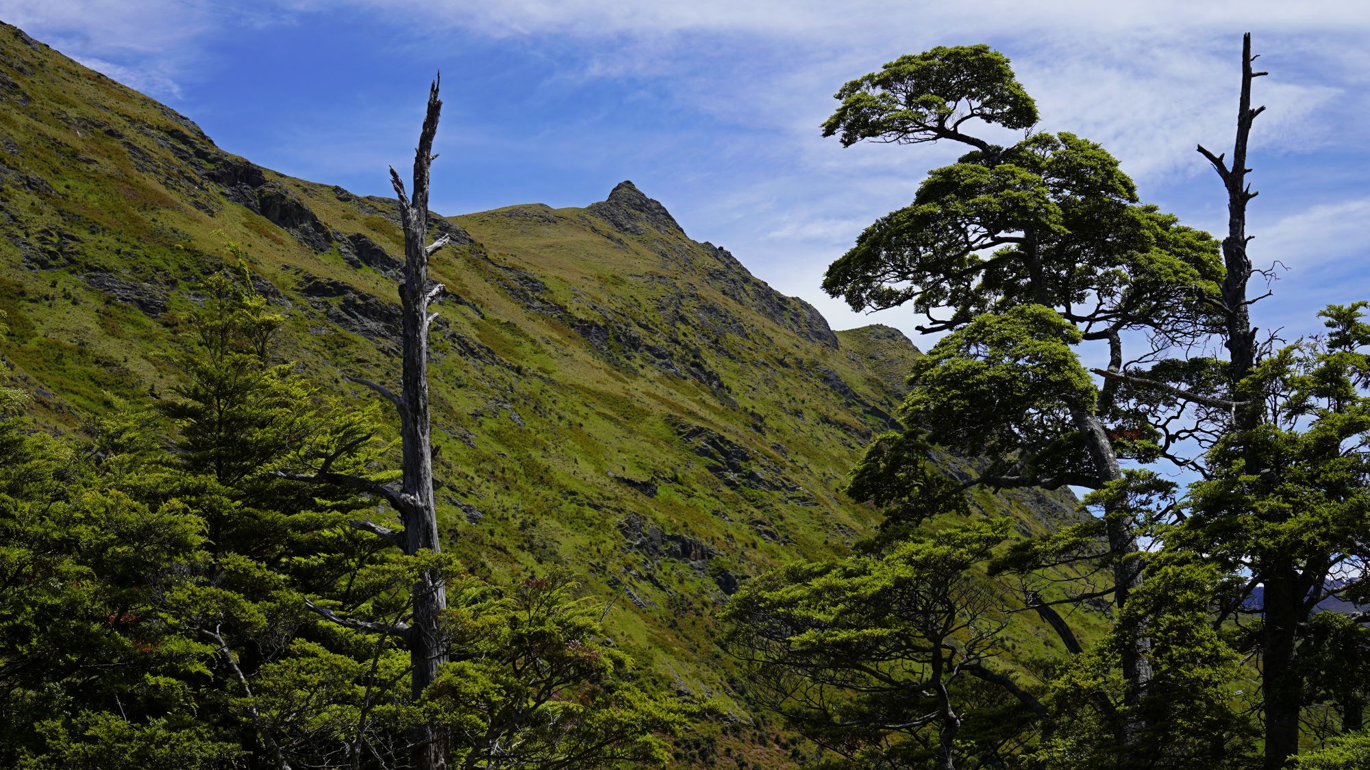
Key Summit


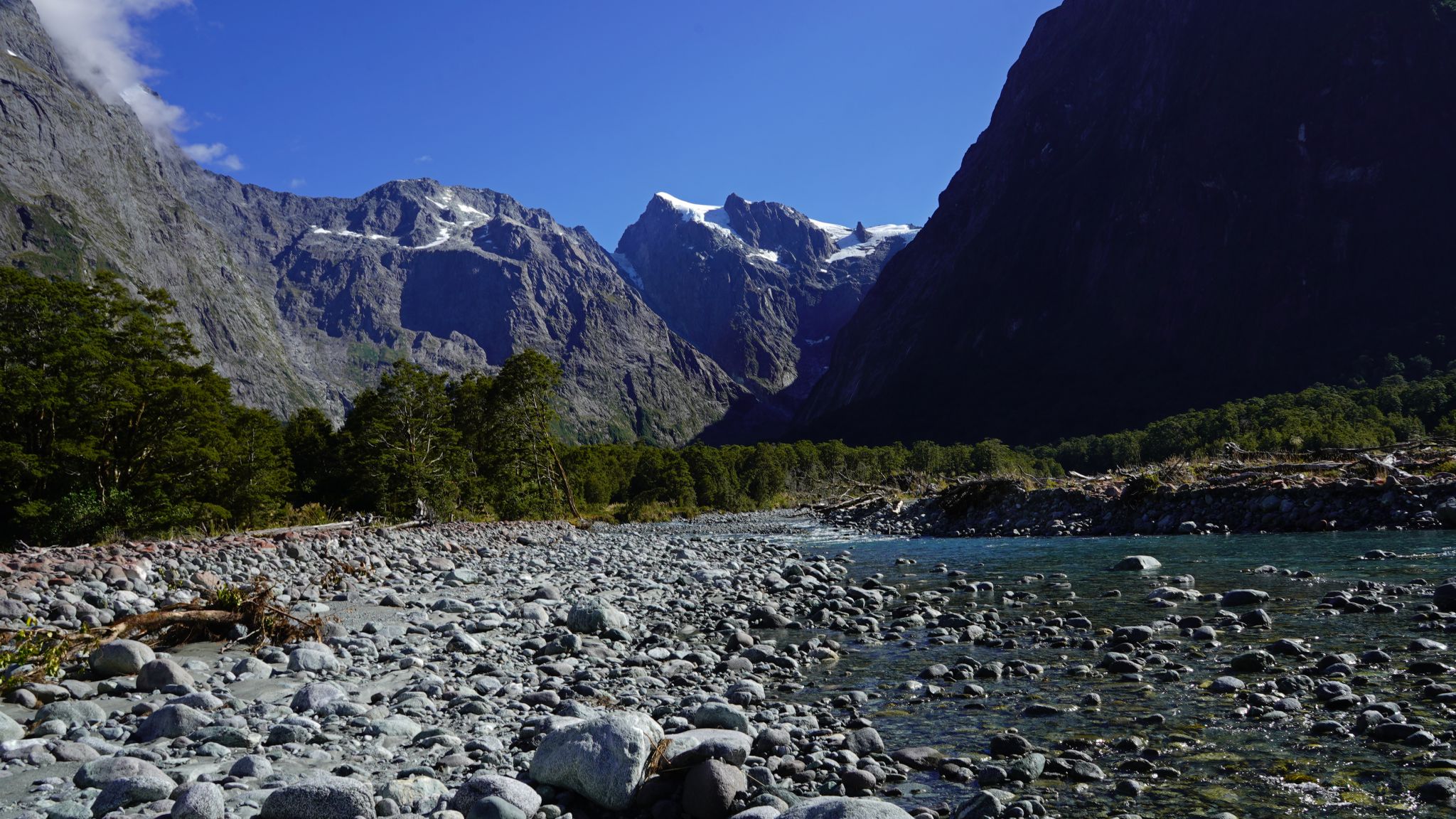
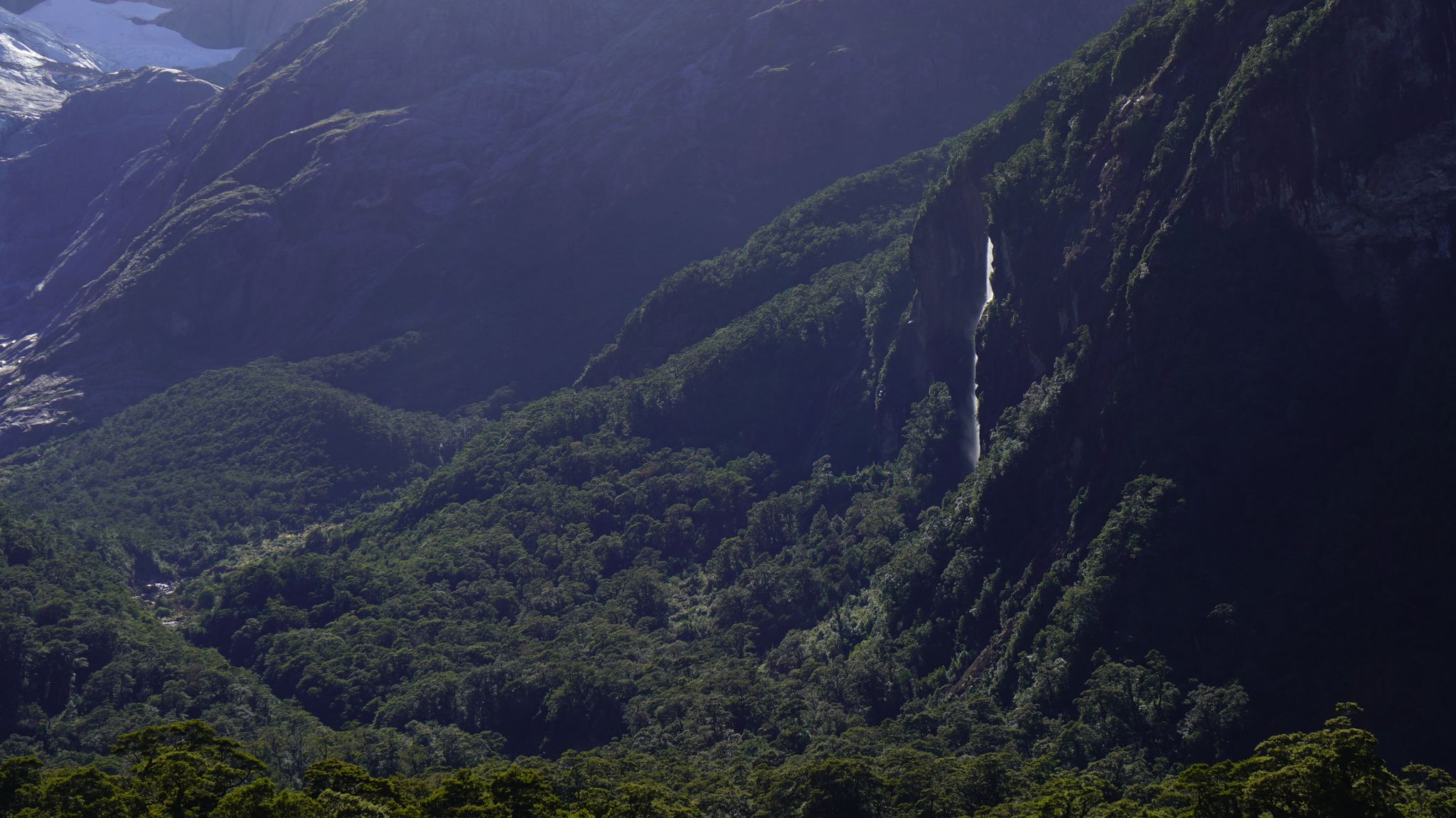
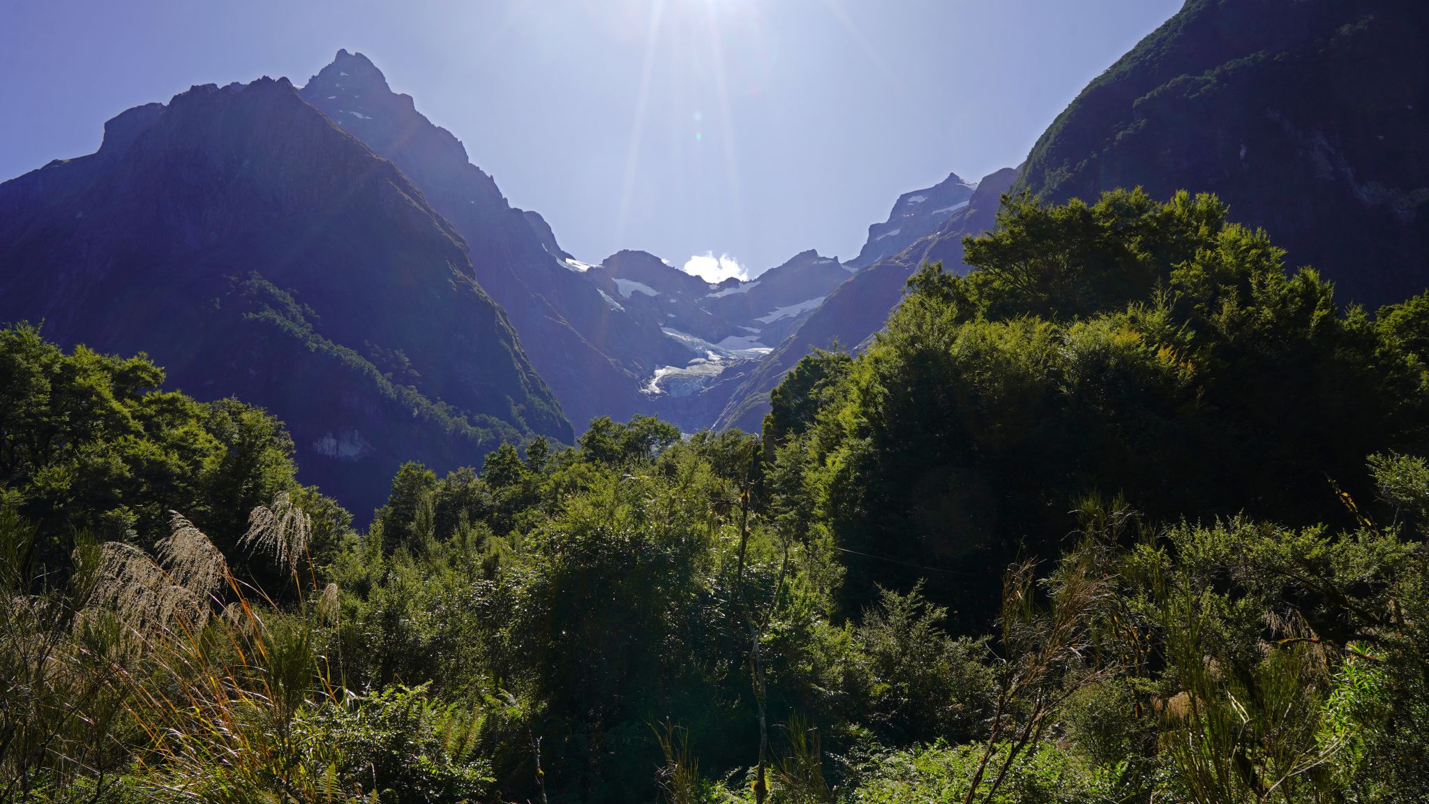
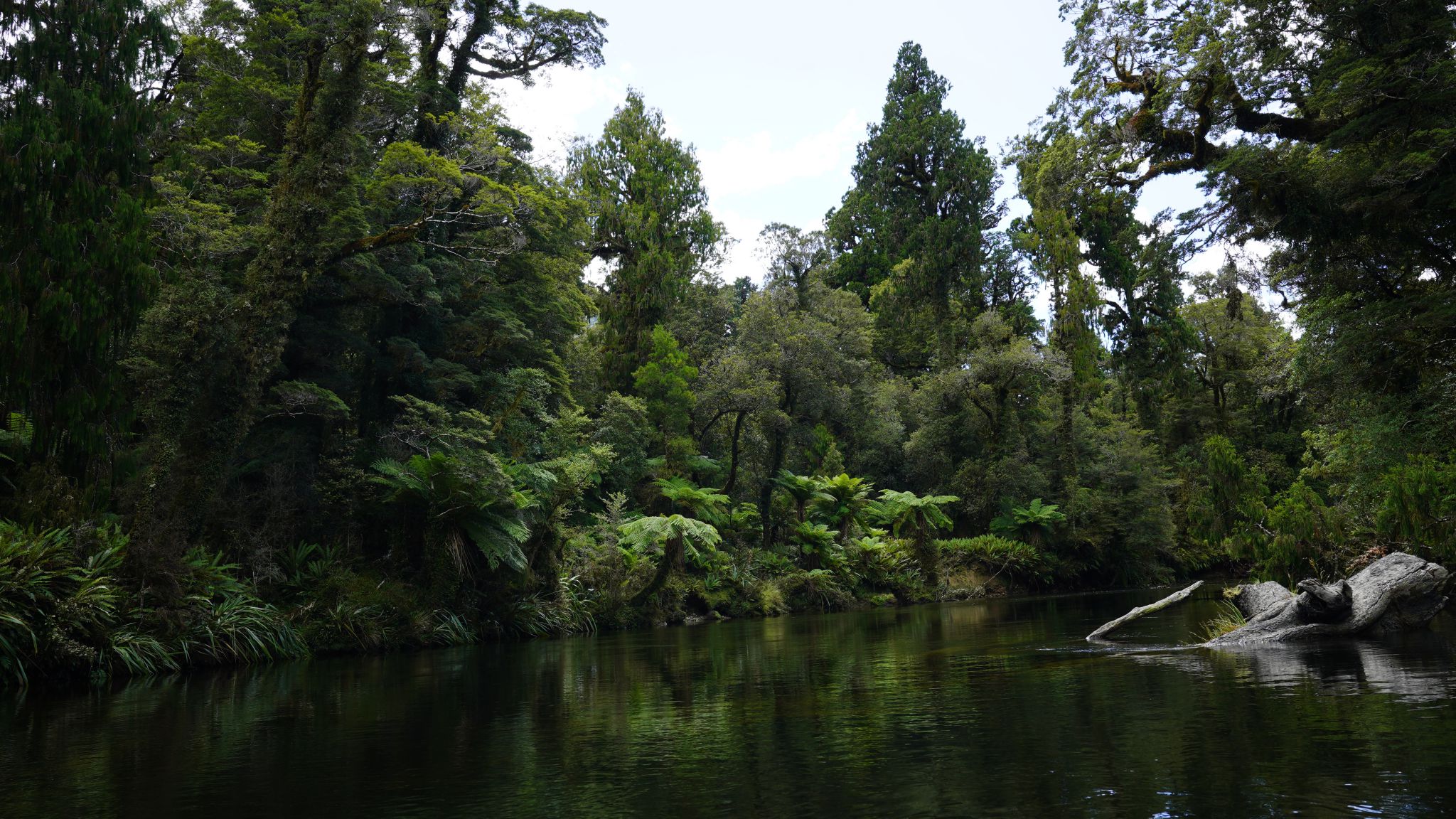
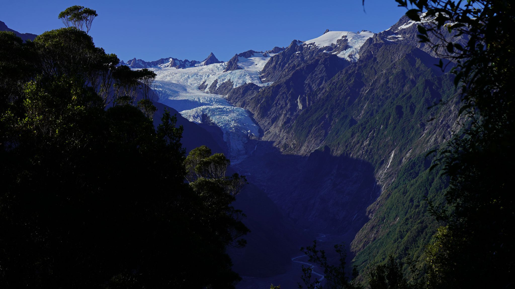
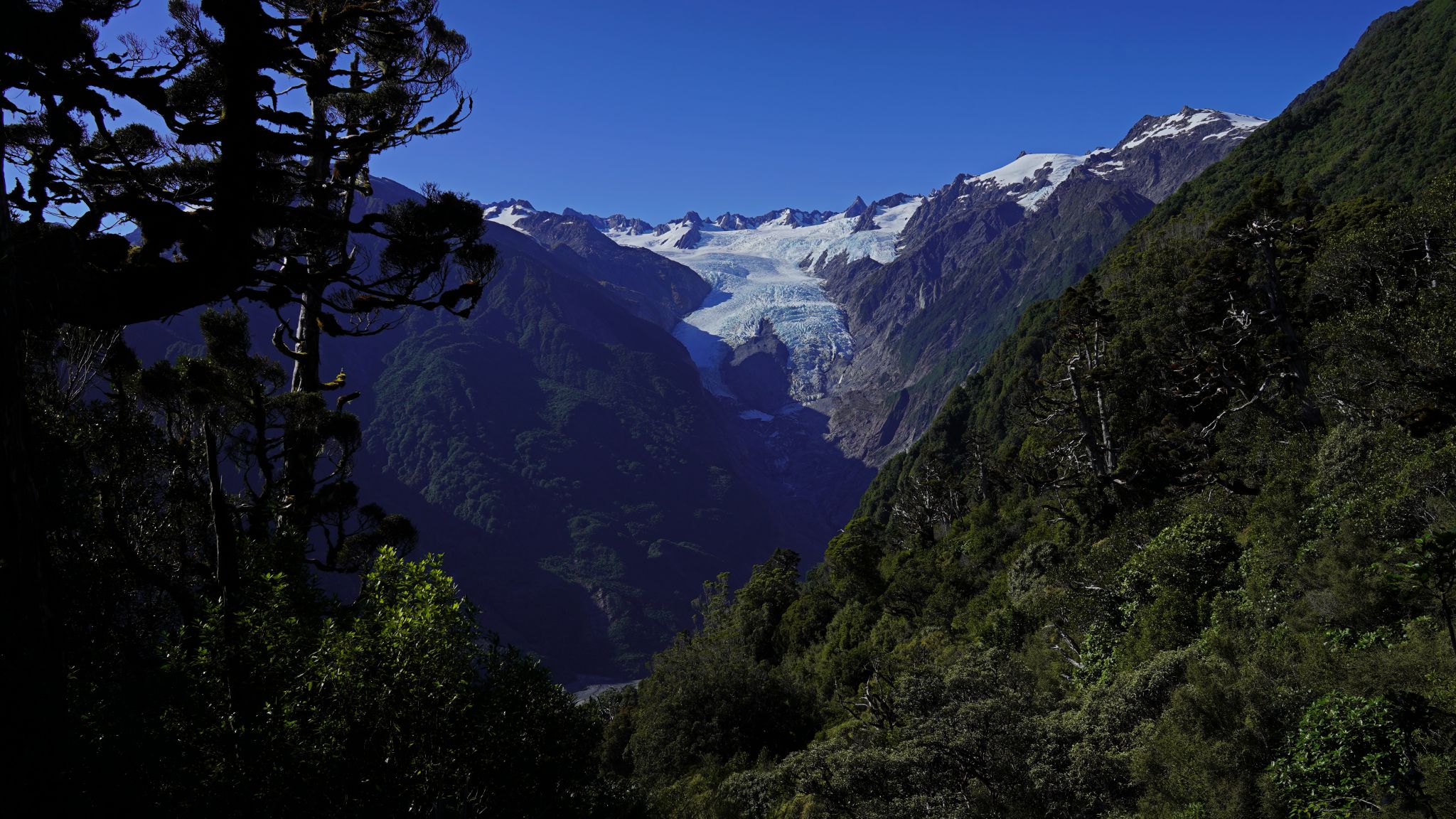
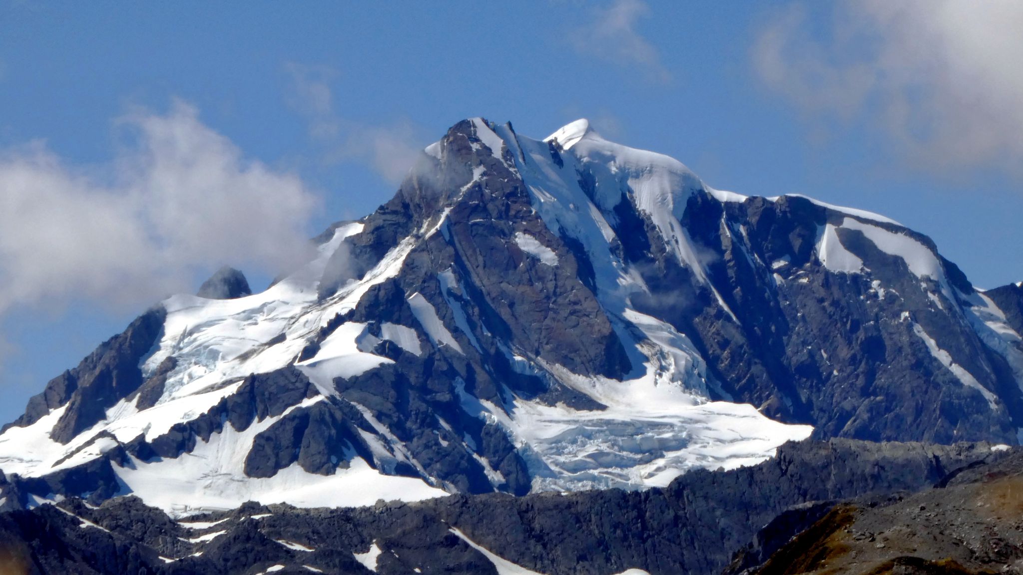
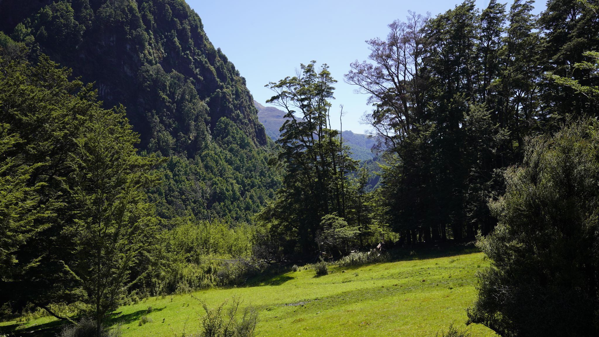
Tutoko Valley
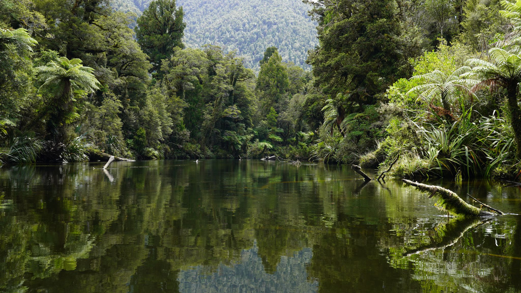
The Tutoko valley is perhaps the most beautiful in Fiordland, but it
has been ravaged by the Great Melt. In 1960, it was possible
to climb Graves couloir (to the left of Paranui Peak) entirely on ice and snow.
Today, only the top fifth is ice and the rest is rotten rock
(and anyone who did climb it, would likely be met by a selfie-taking
tourist at the top) In 1960, tourist helicopters didn't exist and kakapo still roamed the valley. The track up the valley,
through the rain forest, is the orginal,
as built by the first alpinists in the early 1900s, except that DOC has
replaced the tree blazes with orange triangles.


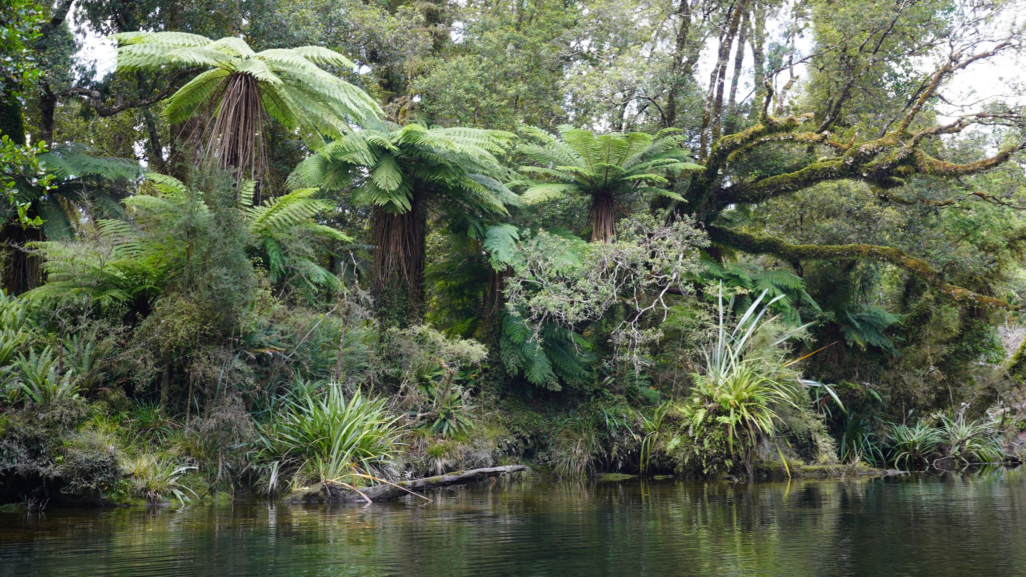
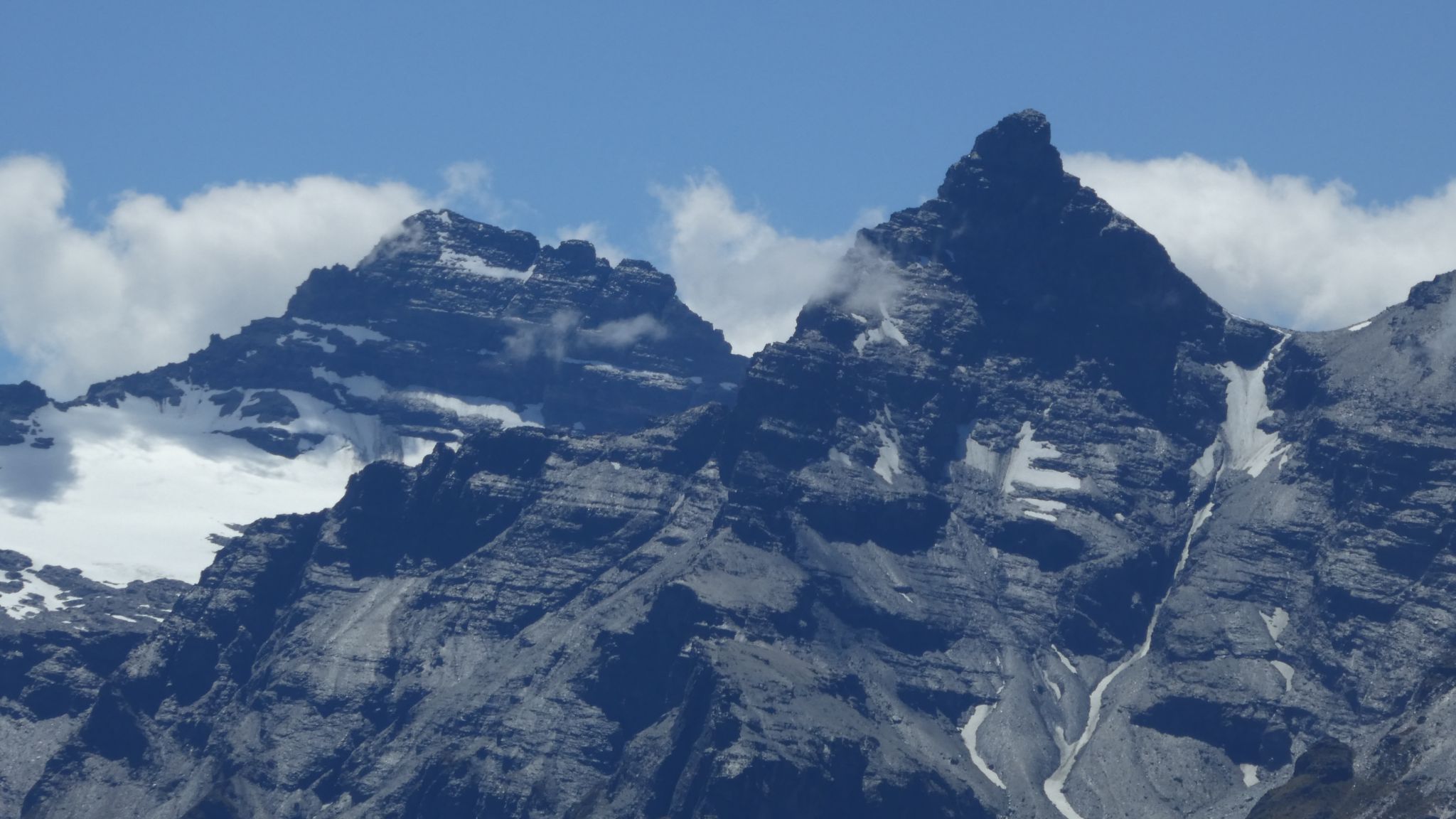
1.Giant fungus. 2.Track(!). 3.Paranui Peak. 4.Remains of the Age glacier
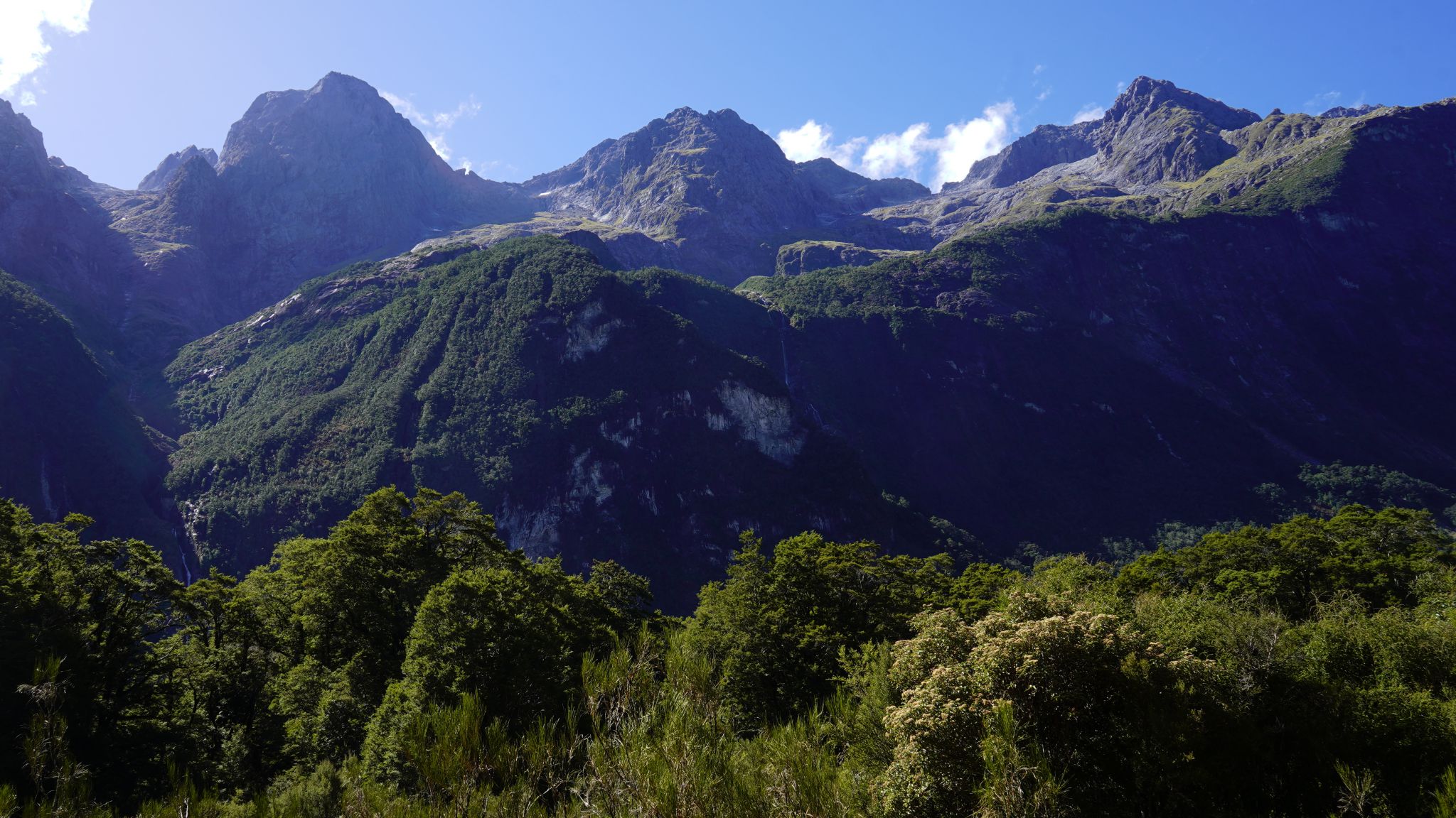
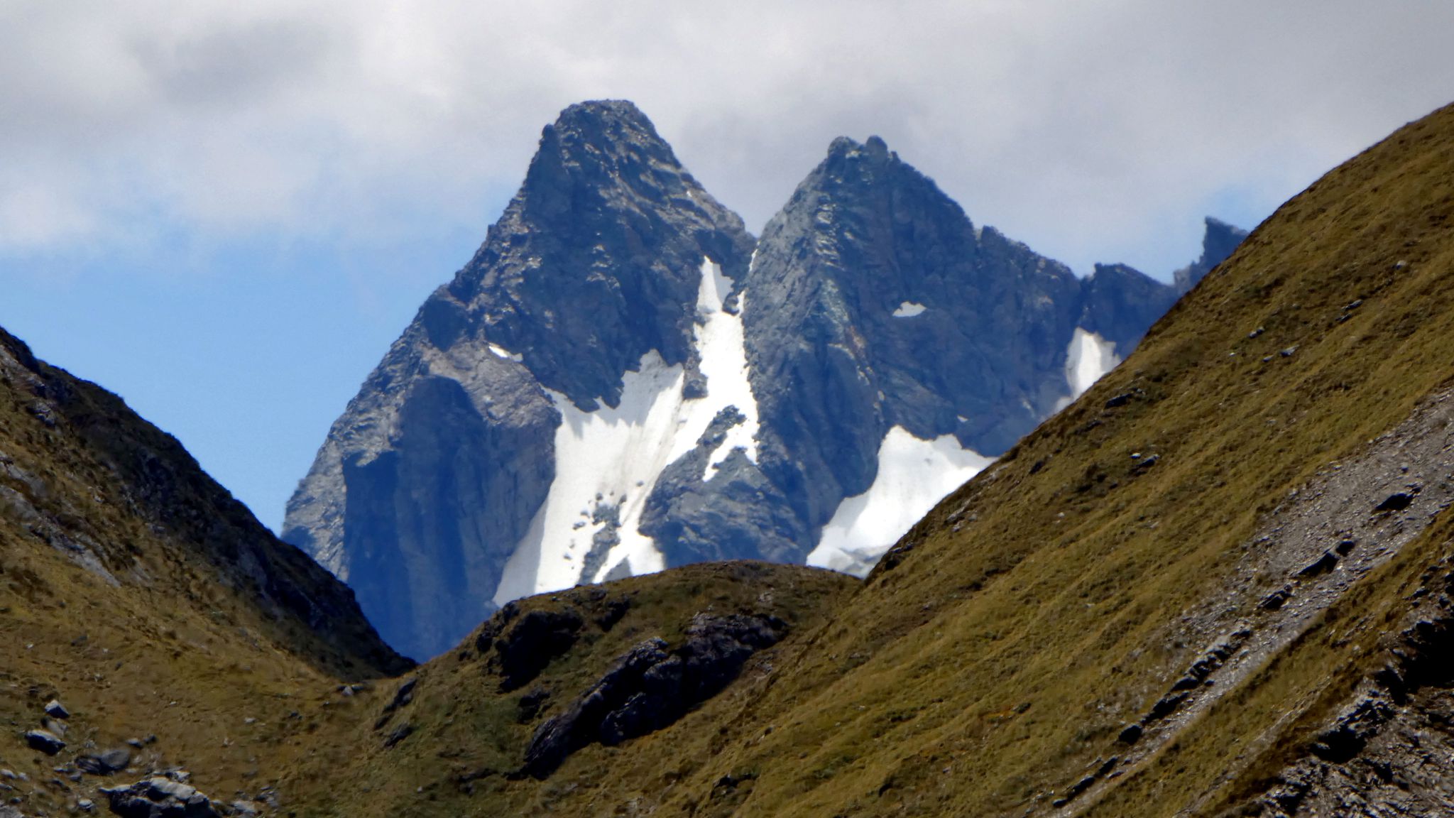
1.Leader Falls. 2.Leader Creek. 3.Mts Syme, Milne, Tarewai.
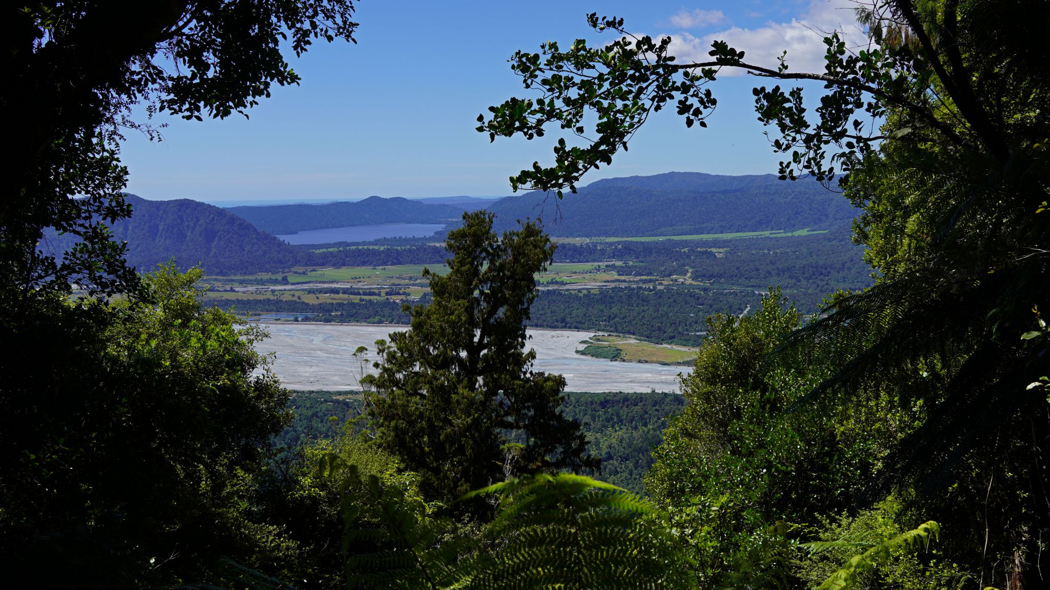
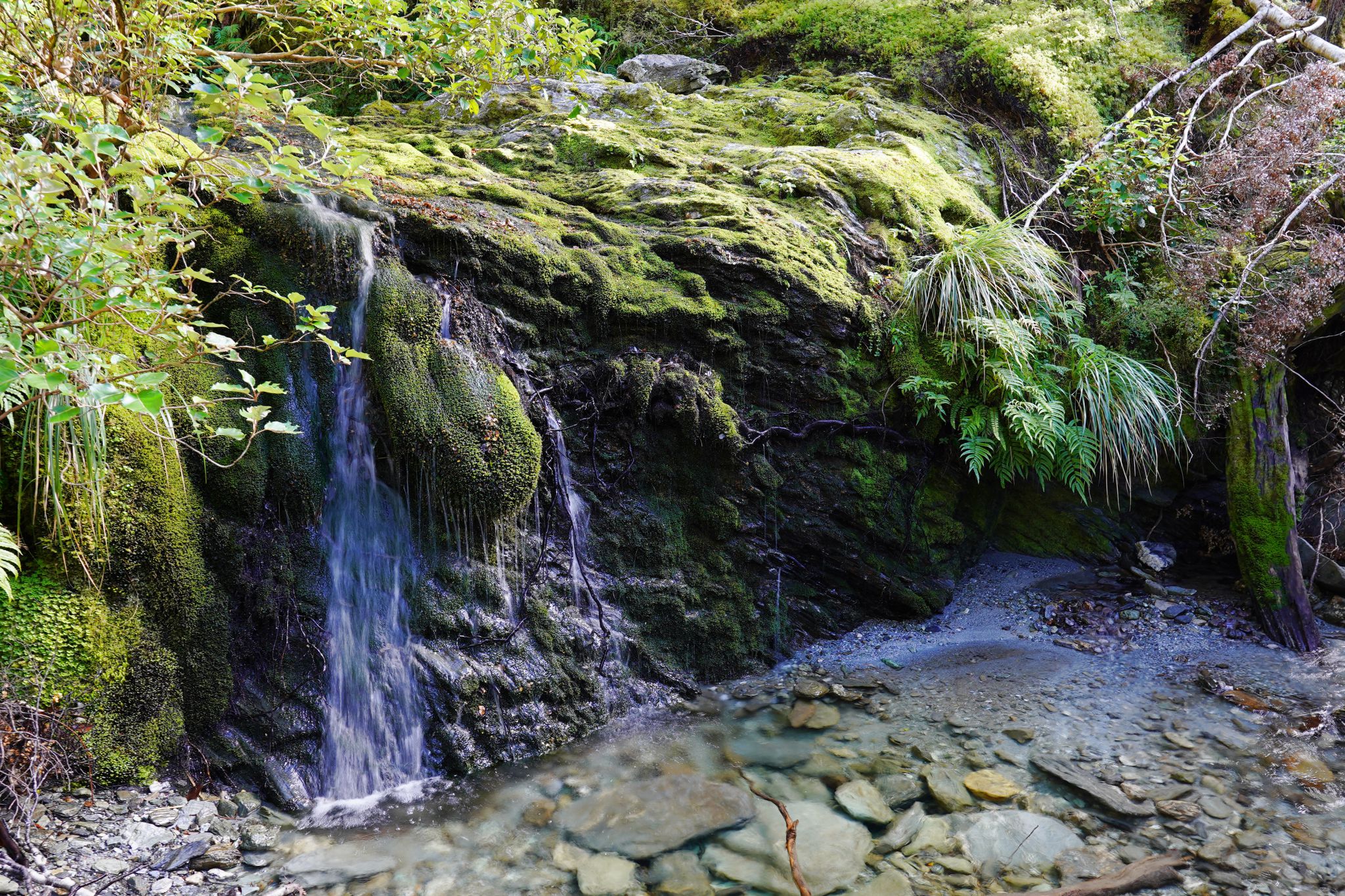
West Coast
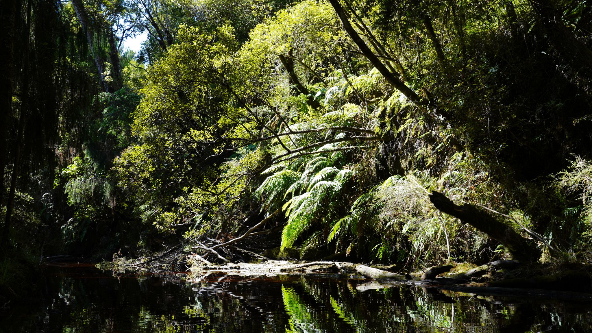
Lake Ellery and Ellery Stream (by kayak)
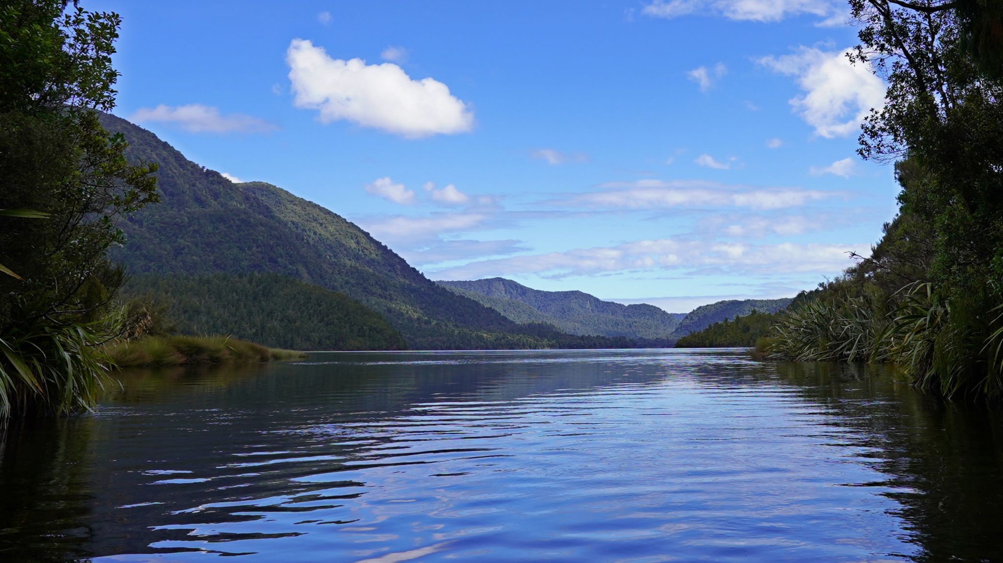
Arriving at lake/lake/lake/stream/stream/stream
Lake Mapourika (by kayak)
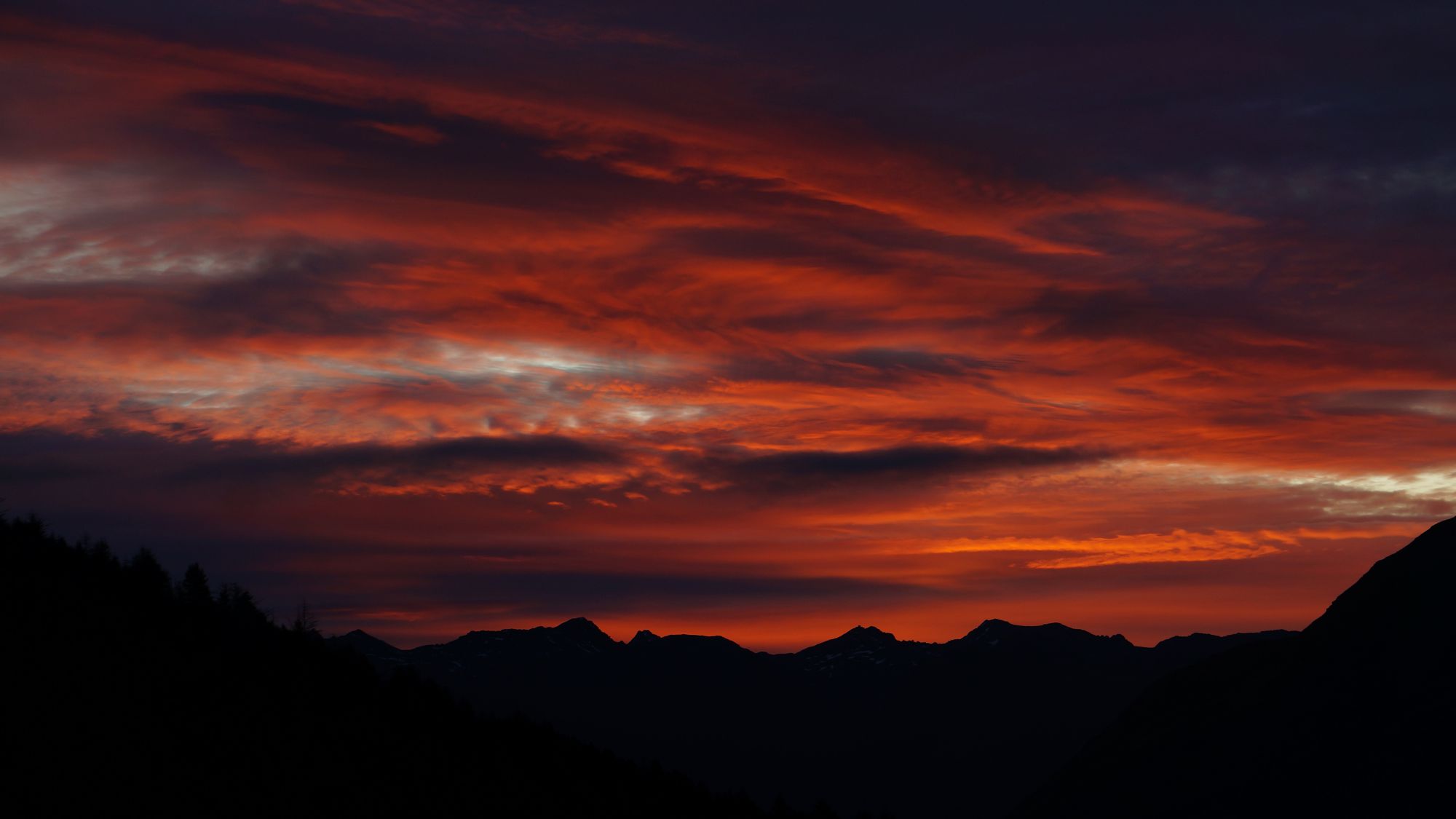
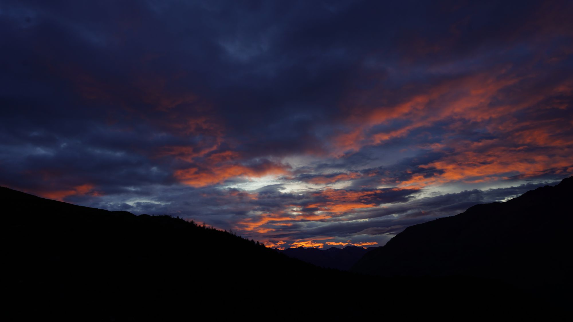
 Looking for a sunset.
Alex Knob


Franz Josef glacier/Franz Josef glacier/.../Franz Josef glacier from Alex Knob /Elie de Beaumont/Lake Mapourika
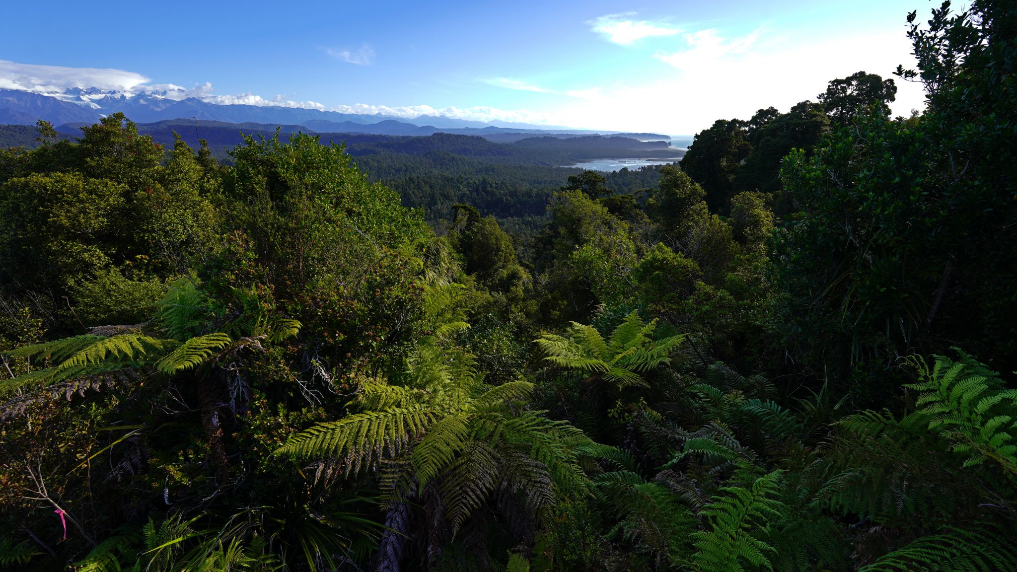
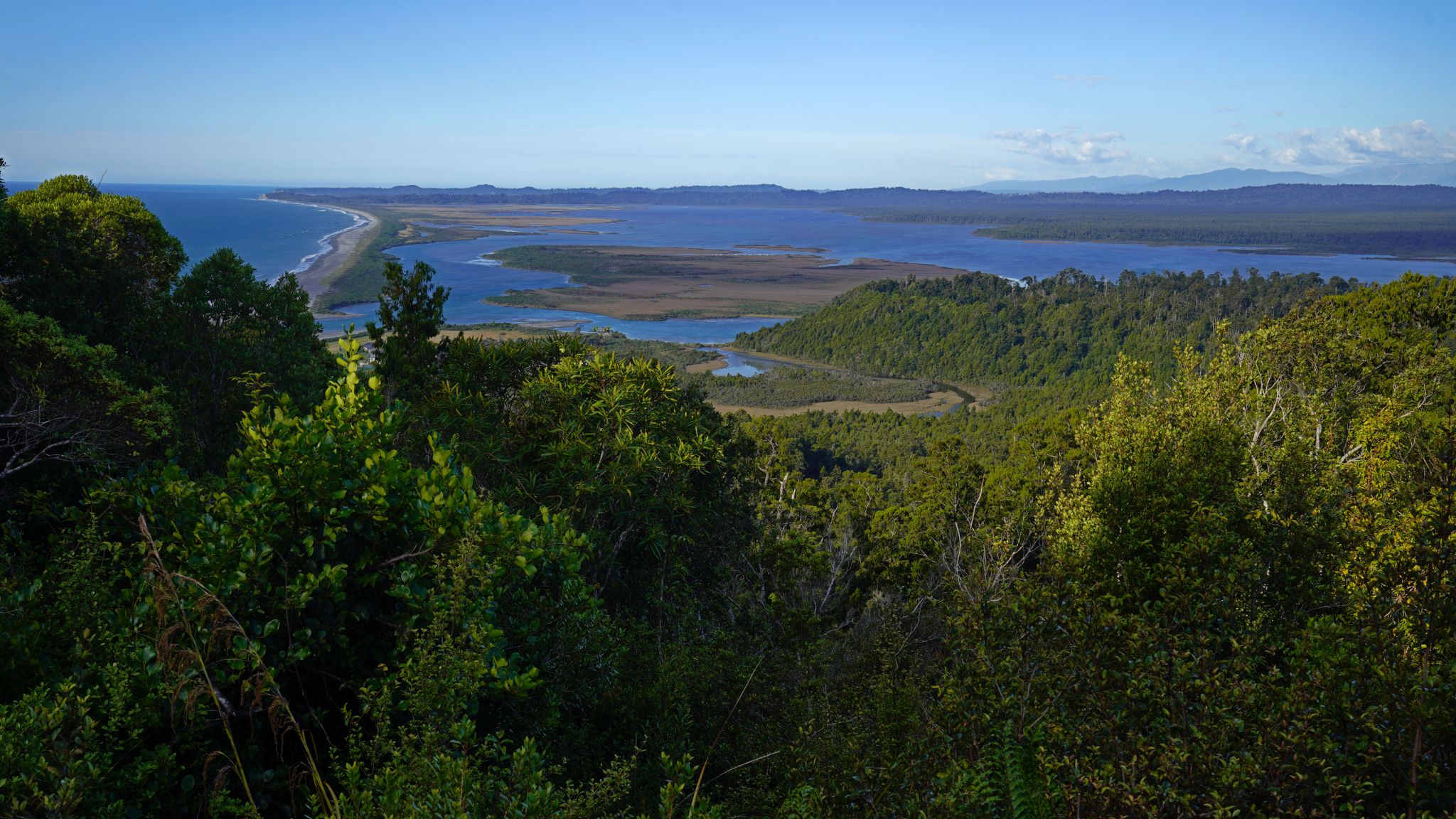
Okarito Coastal Walk


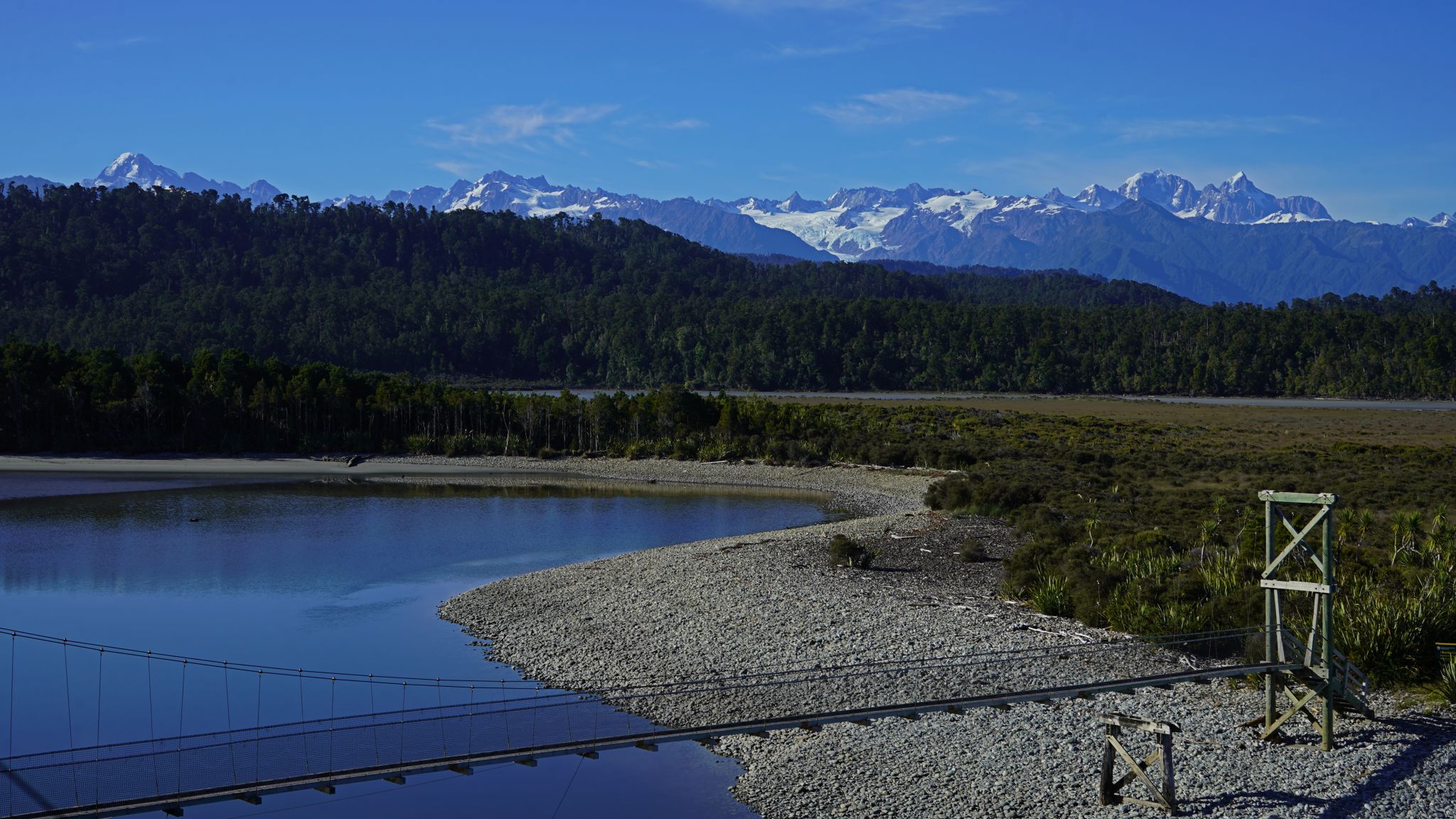
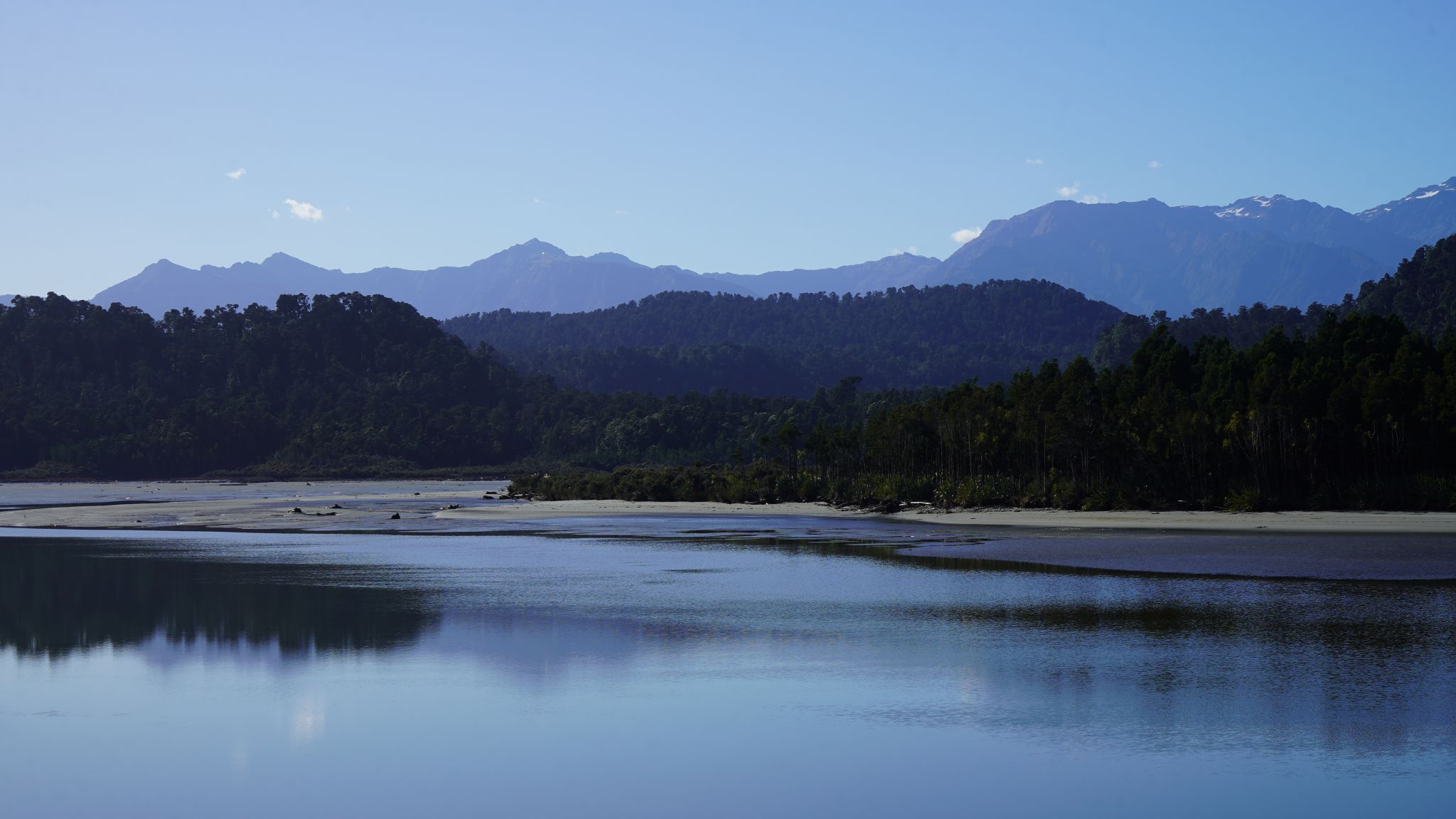


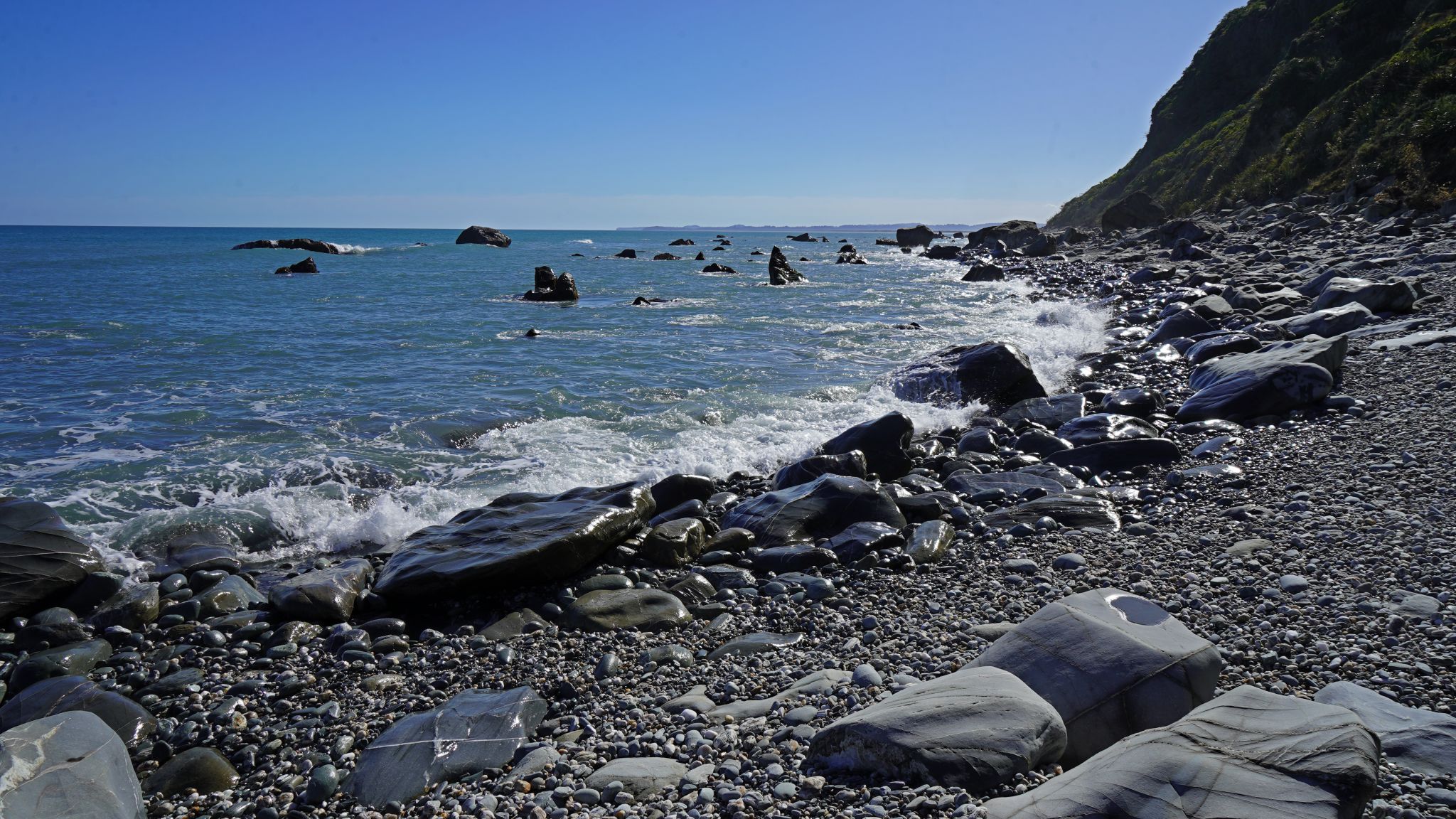
Beach walk/Three Mile Lagoon outlet/Three Mile Lagoon/Three Mile Lagoon /Three Mile Lagoon/Three Mile Lagoon/beach walk.
Okarito Lagoon (by kayak)

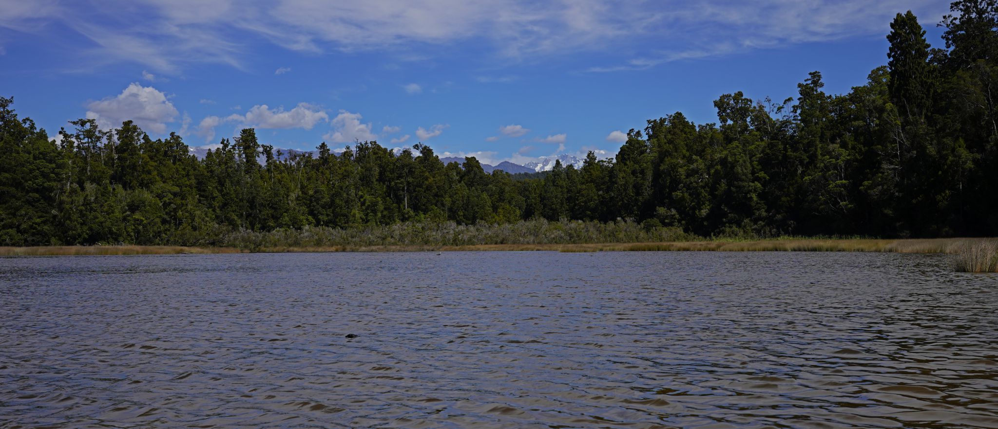
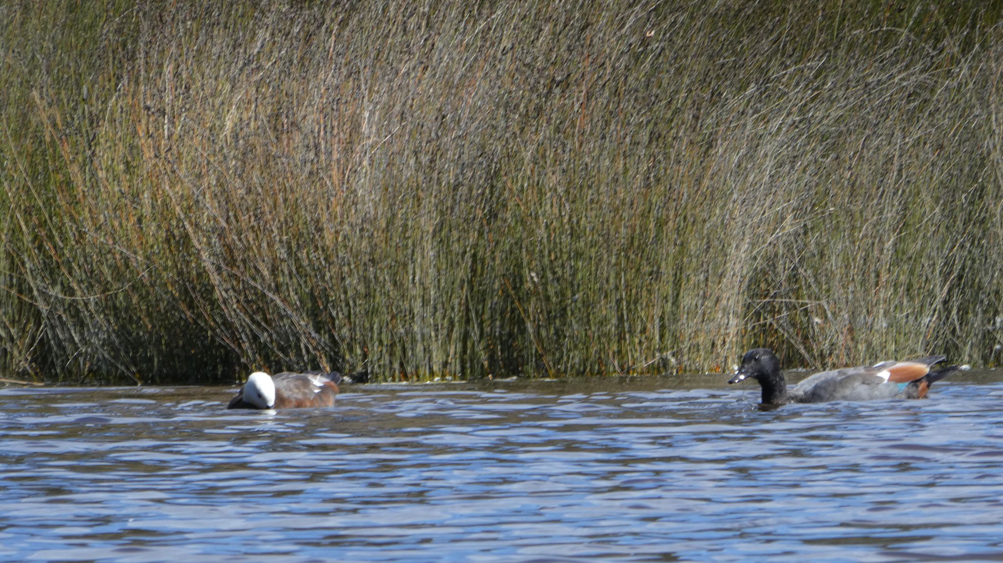
Tidal Creek/Tidal Creek/Deep Creek/Paradise Shelducks
Okarito Trig Walk
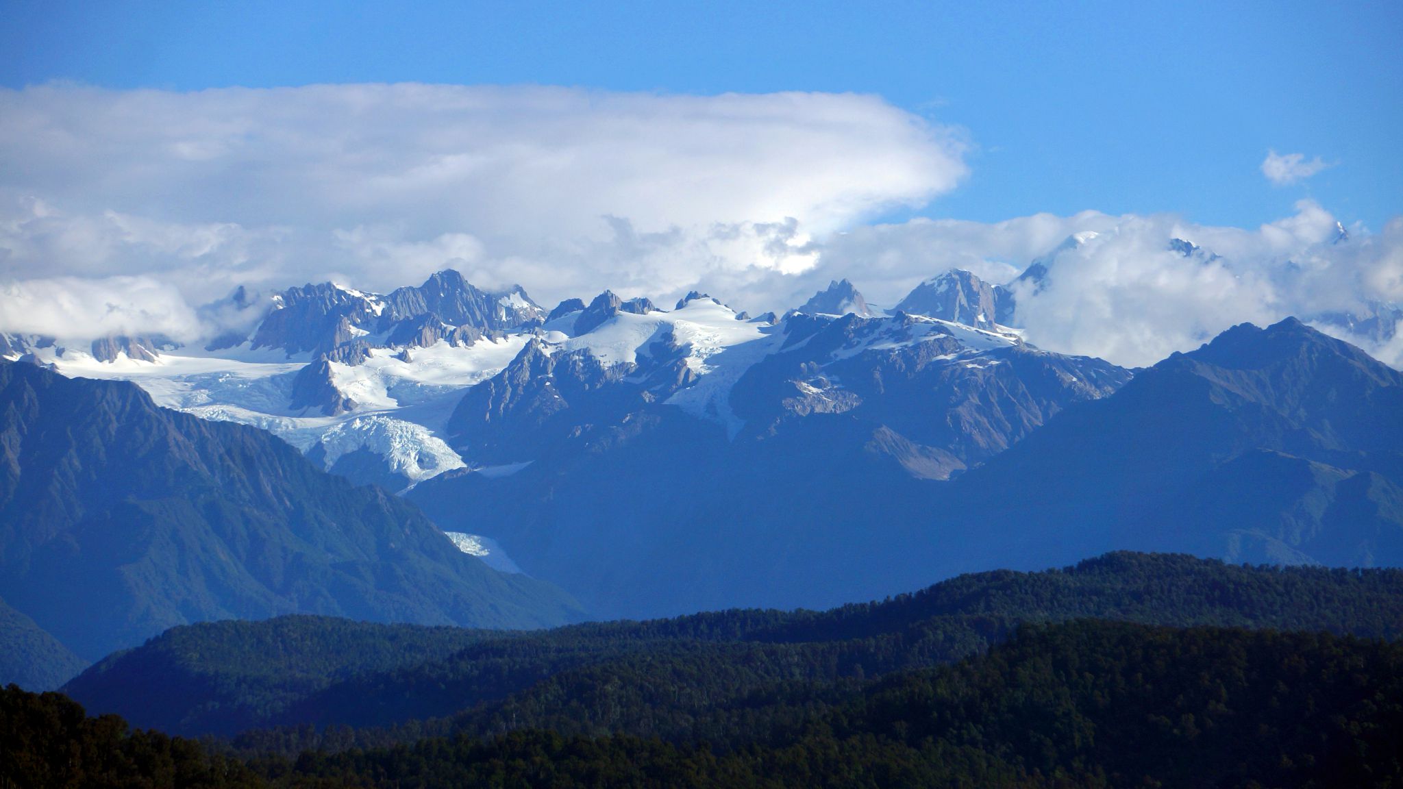
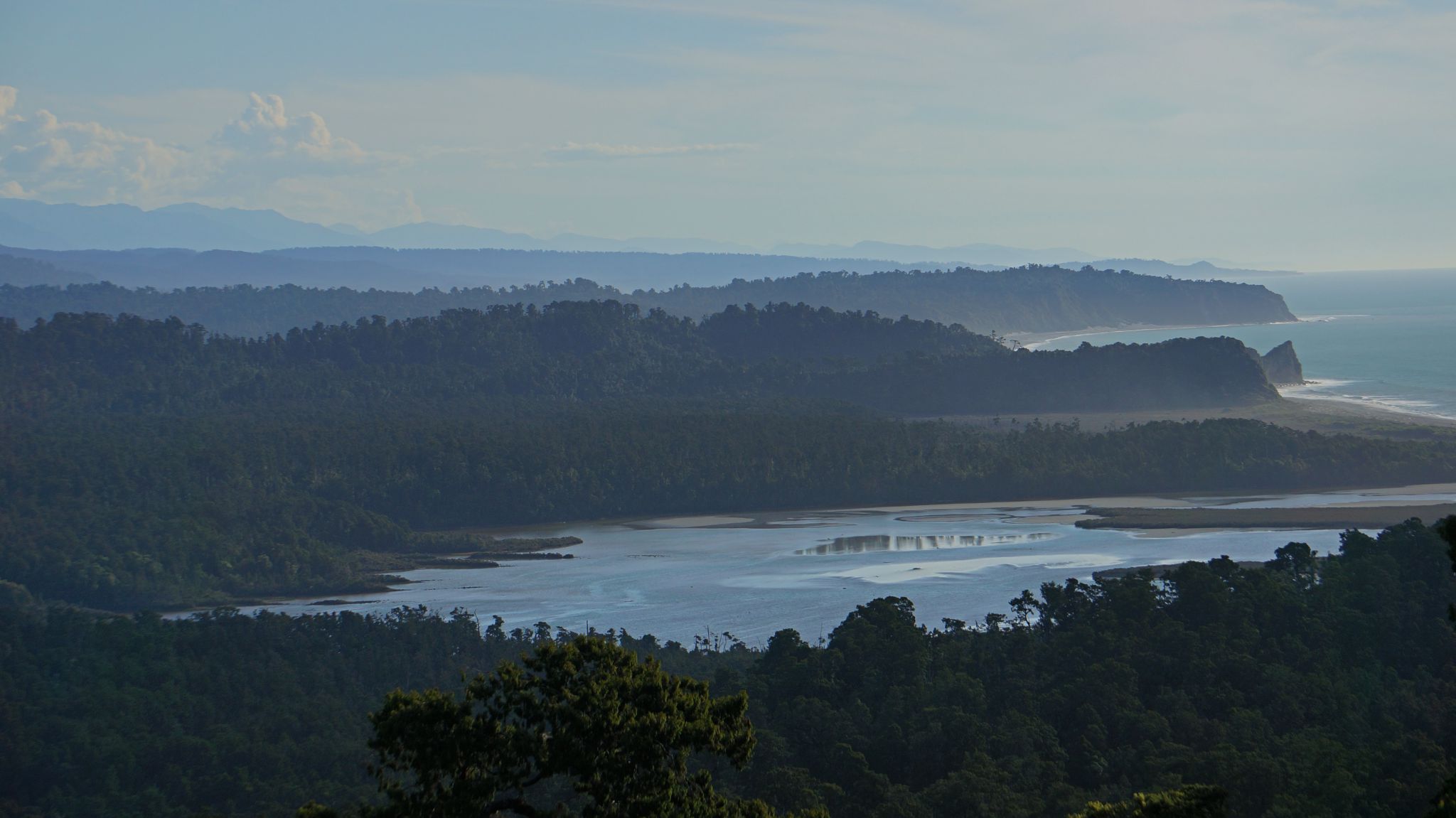
Coast SouthEast/Okarito Lagoon/Alps, Tasman and Cook in clouds at right/Three Mile Lagoon
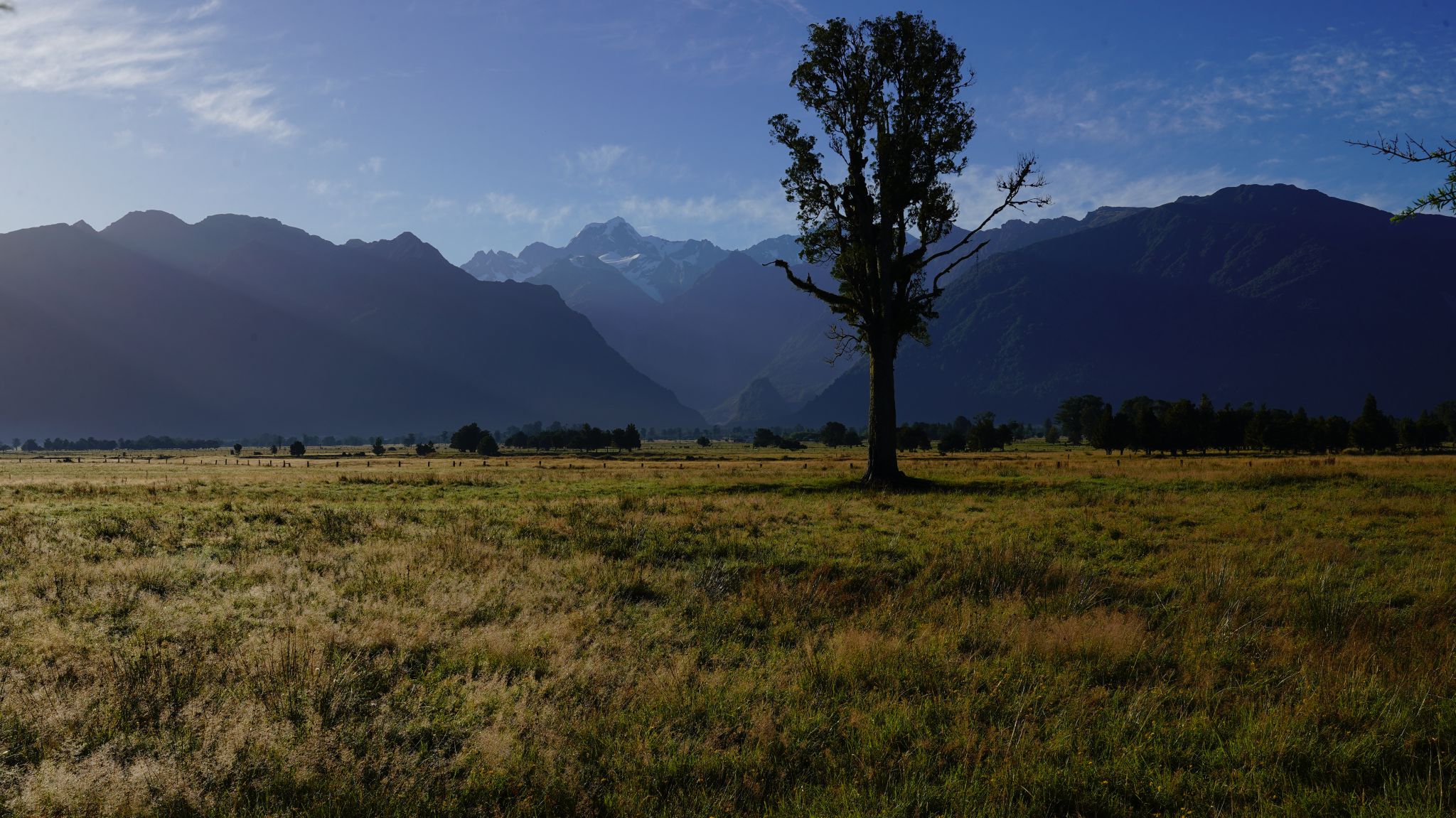
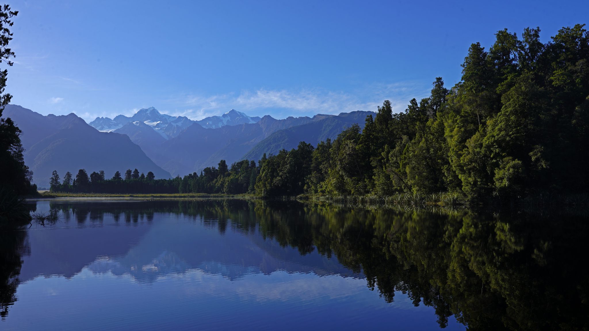
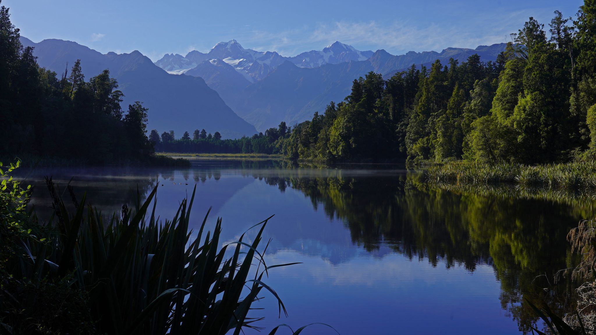
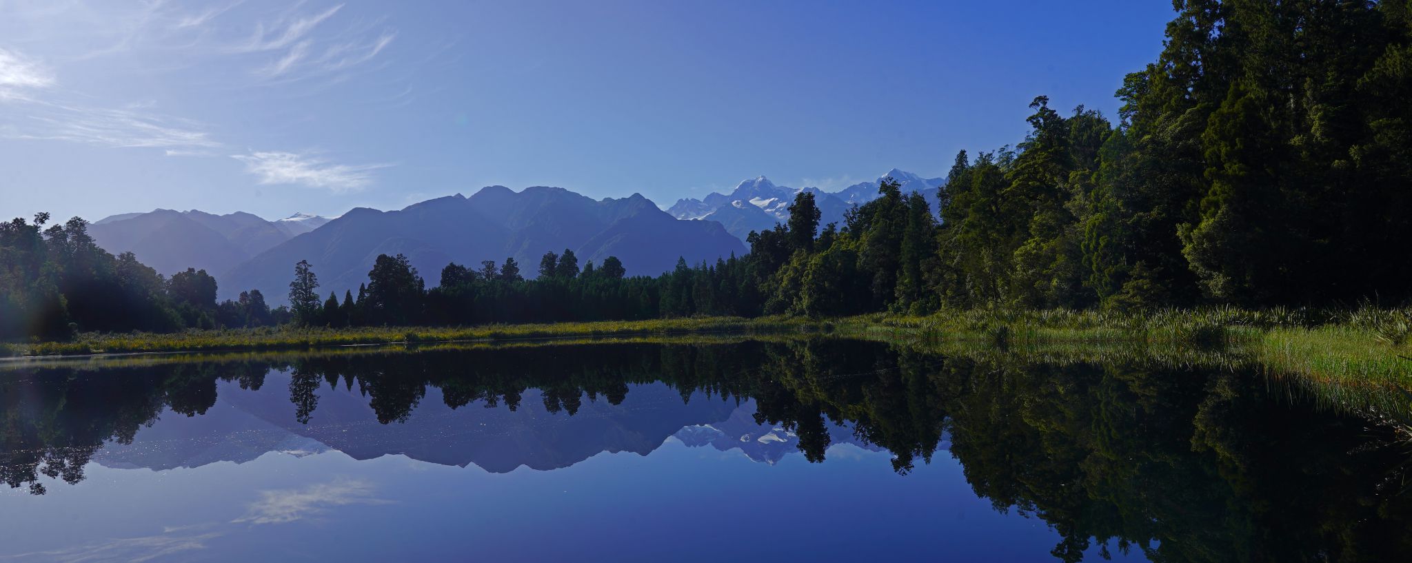
Lake Matheson

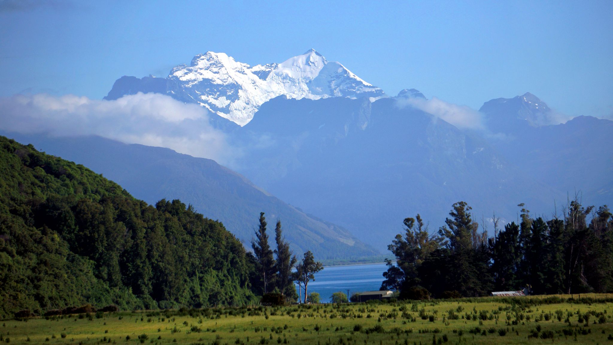
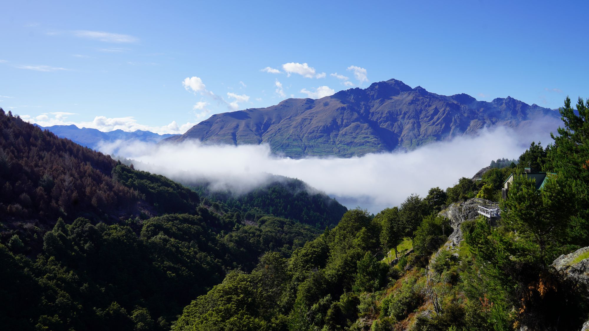
Whakatipu
From Sugar Loaf

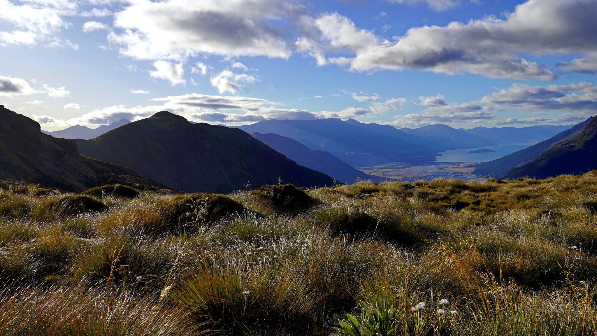
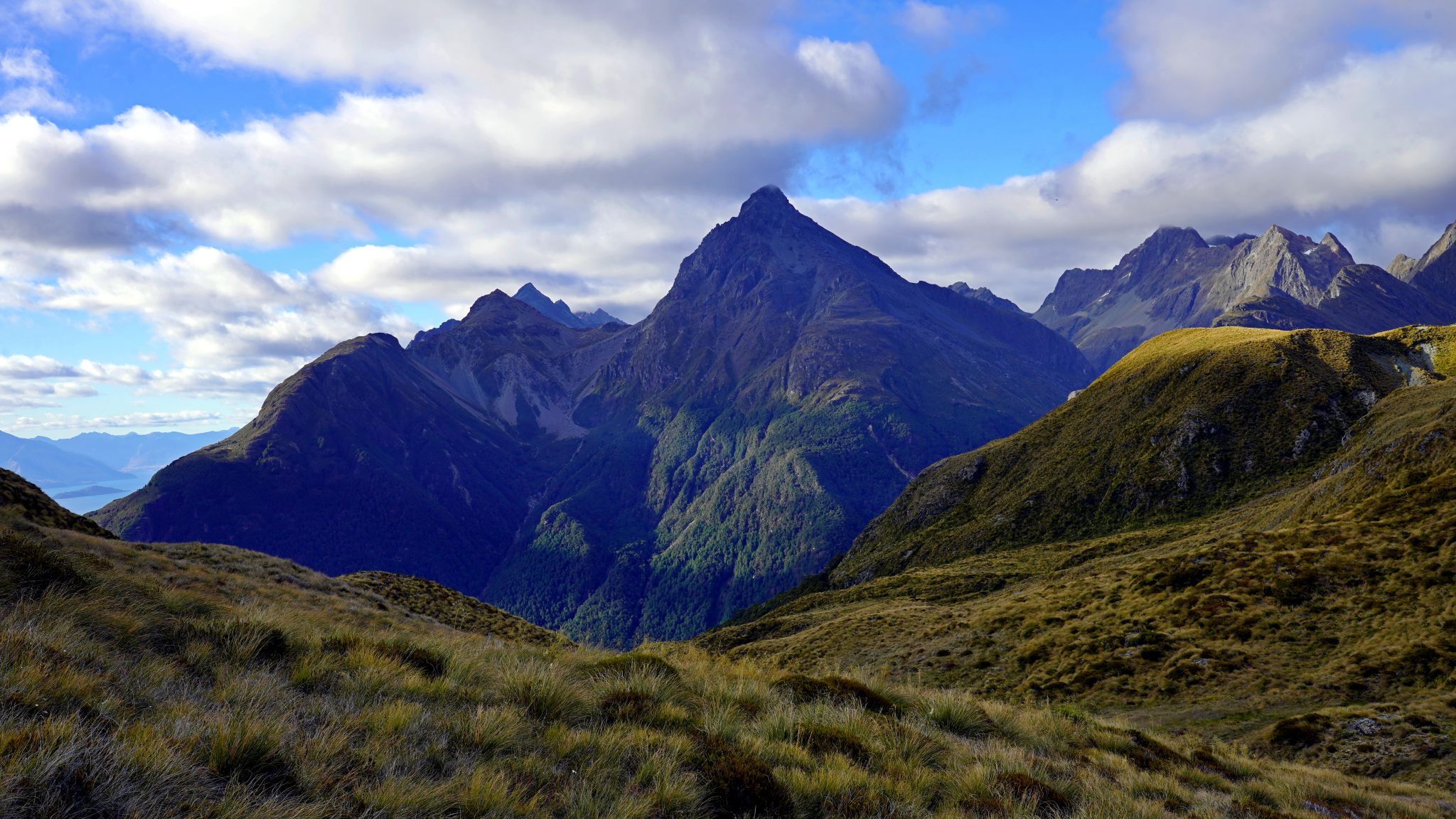

Sugar Loaf stream/tarn/tarn/Rock Burn valley/Whakatipu /Route Burn valley/the lonely kea.


Earnslaw/William and Pluto/Cosmos Peaks(?)/Minos peak.
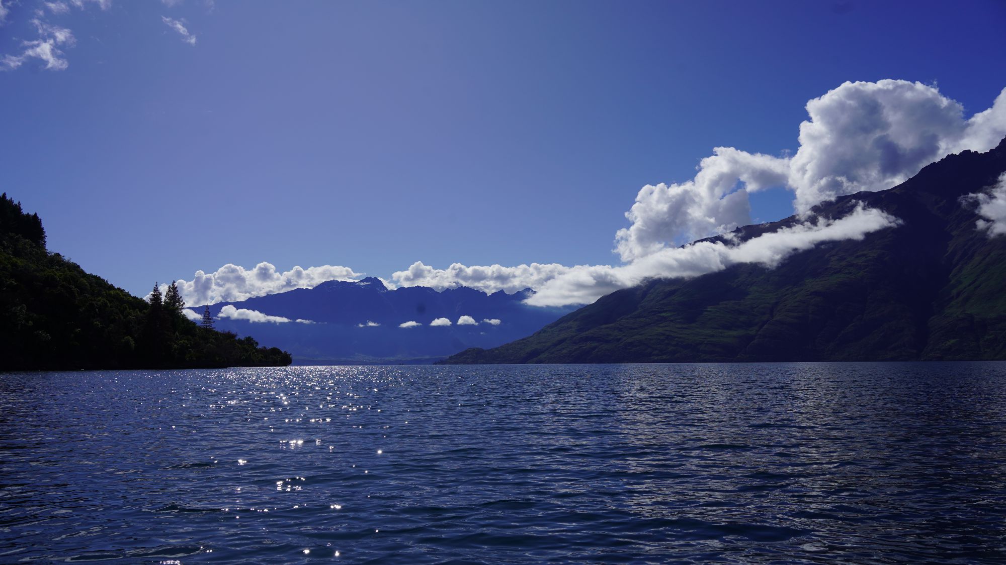
Lake Whakatipu (from kayak)
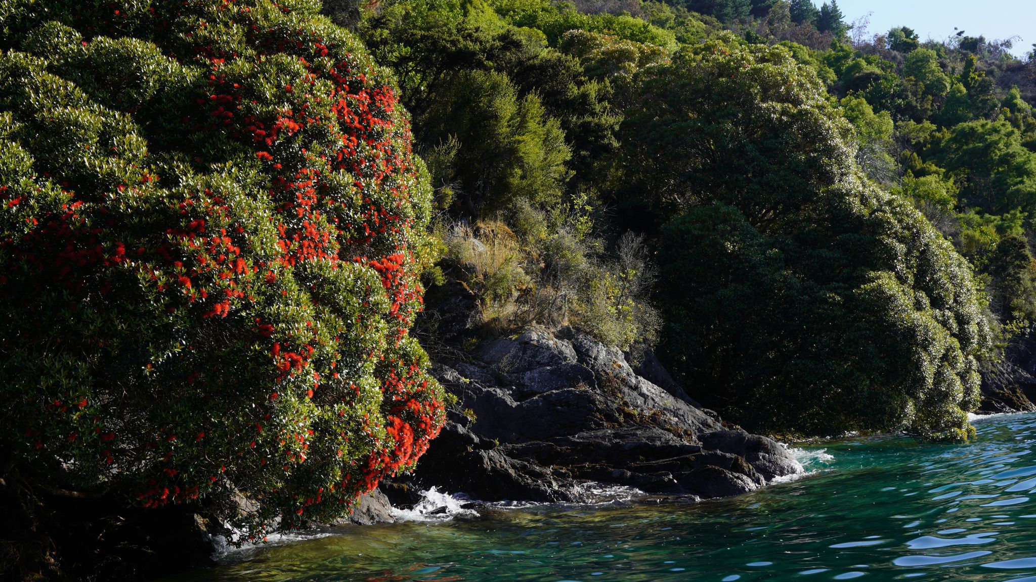
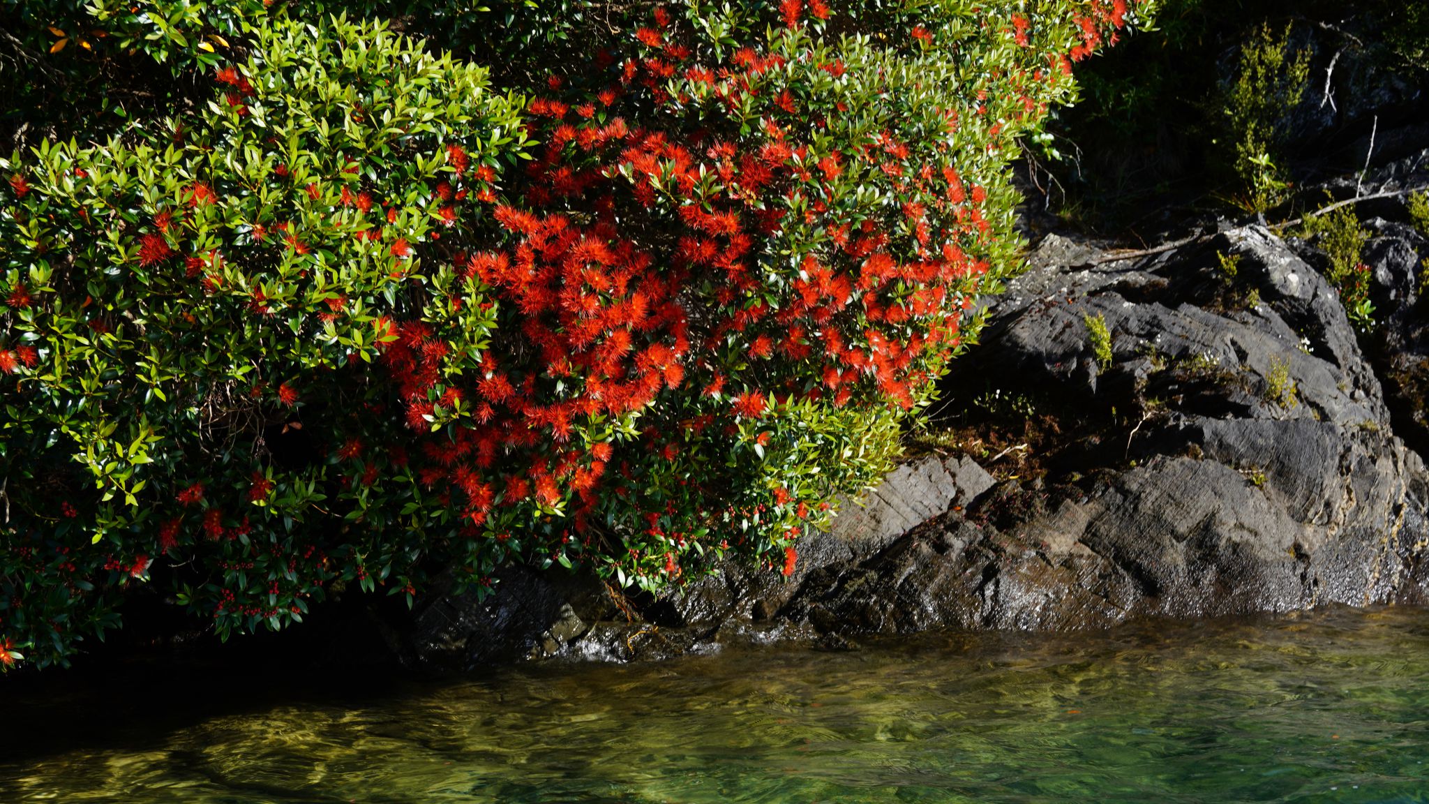

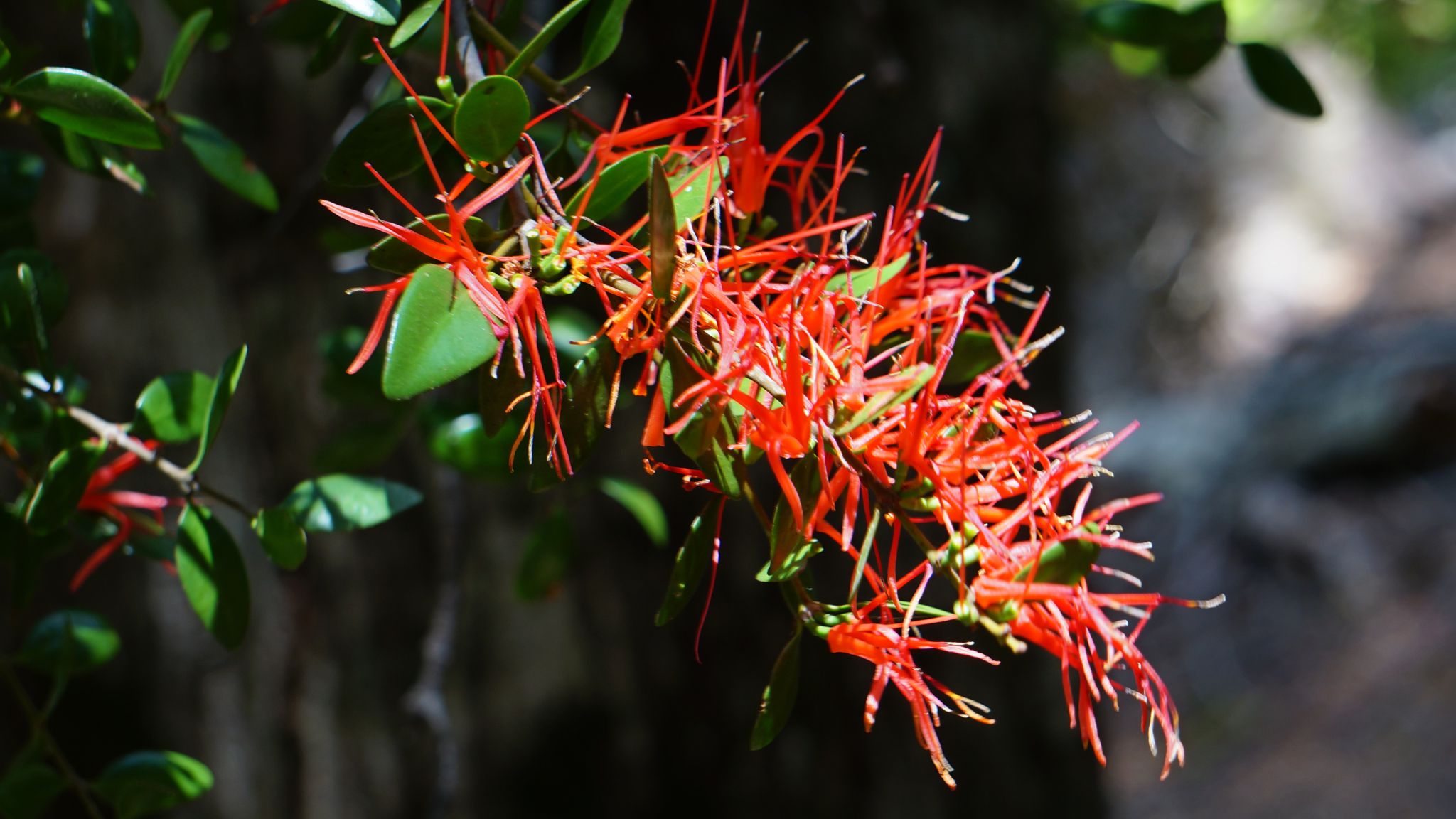
 Rata
Rata

 Crested Grebes (Puteketeke) Voted bird of the century 2023.
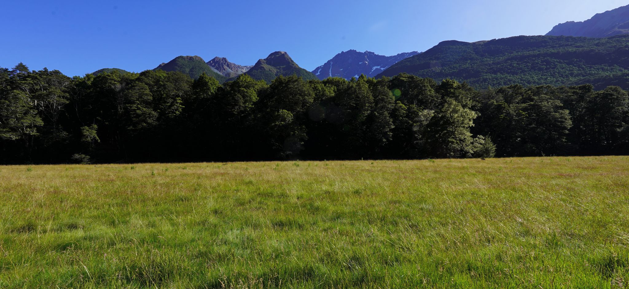
Beech Forest in Five-Mile Creek
Five Mile Creek contains the last remaining large area of old growth beech forest near Queenstown. It is home to many native birds, including karearea (NZ falcon), ruru (morepork), korimako (bellbird), tui, fantail, toutouwai (NZ robin), tomtit, and rifleman. Kea lived in the upper valley, and perhaps still do. It also contains NZ mistletoe (Peraxilla tetrapetala), which is very uncommon. There are signs of gold mining activity from the 1800s in the forest including the remains of an old mining village.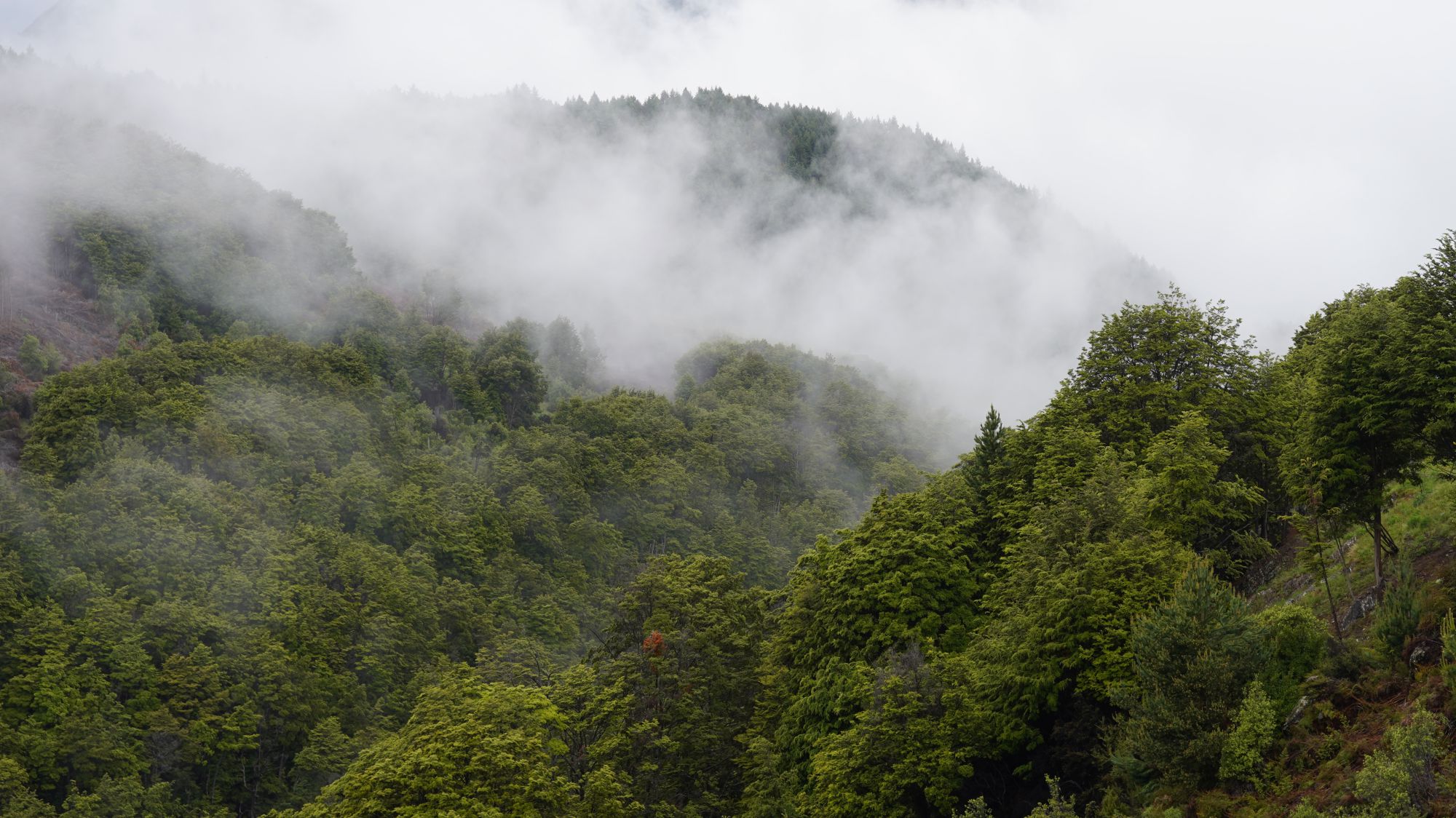

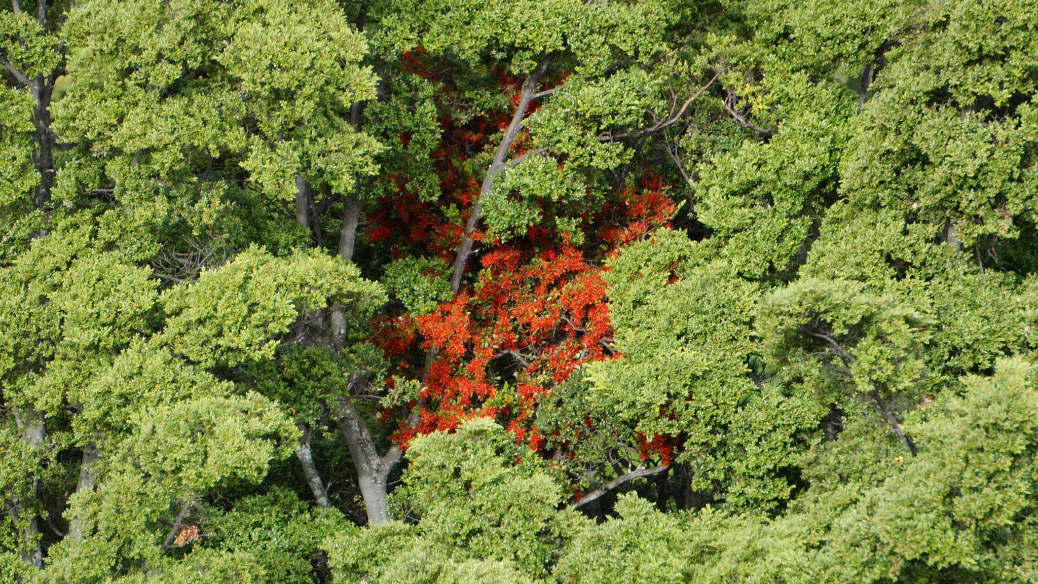
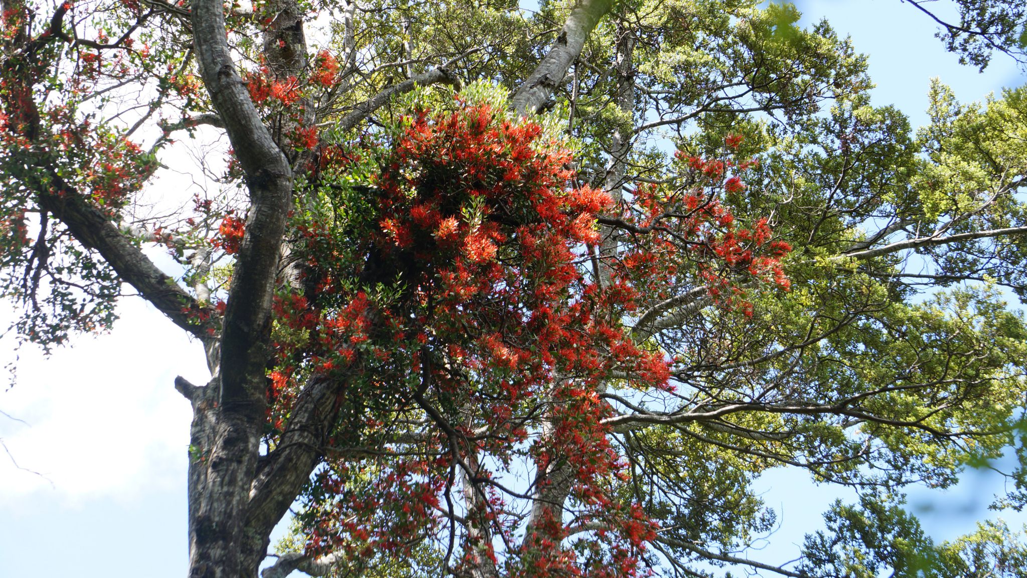
 NZ mistletoe (Peraxilla tetrapetala).

 Beech forest.
Caples Valley/Sleepy Hollow


Creek at right is from Sleepy Hollow; the rest show flats in the Upper Caples.
Lake Rere Walk
A 14 kilometer loop track (5 hour walk), about 80 minutes drive from Queenstown.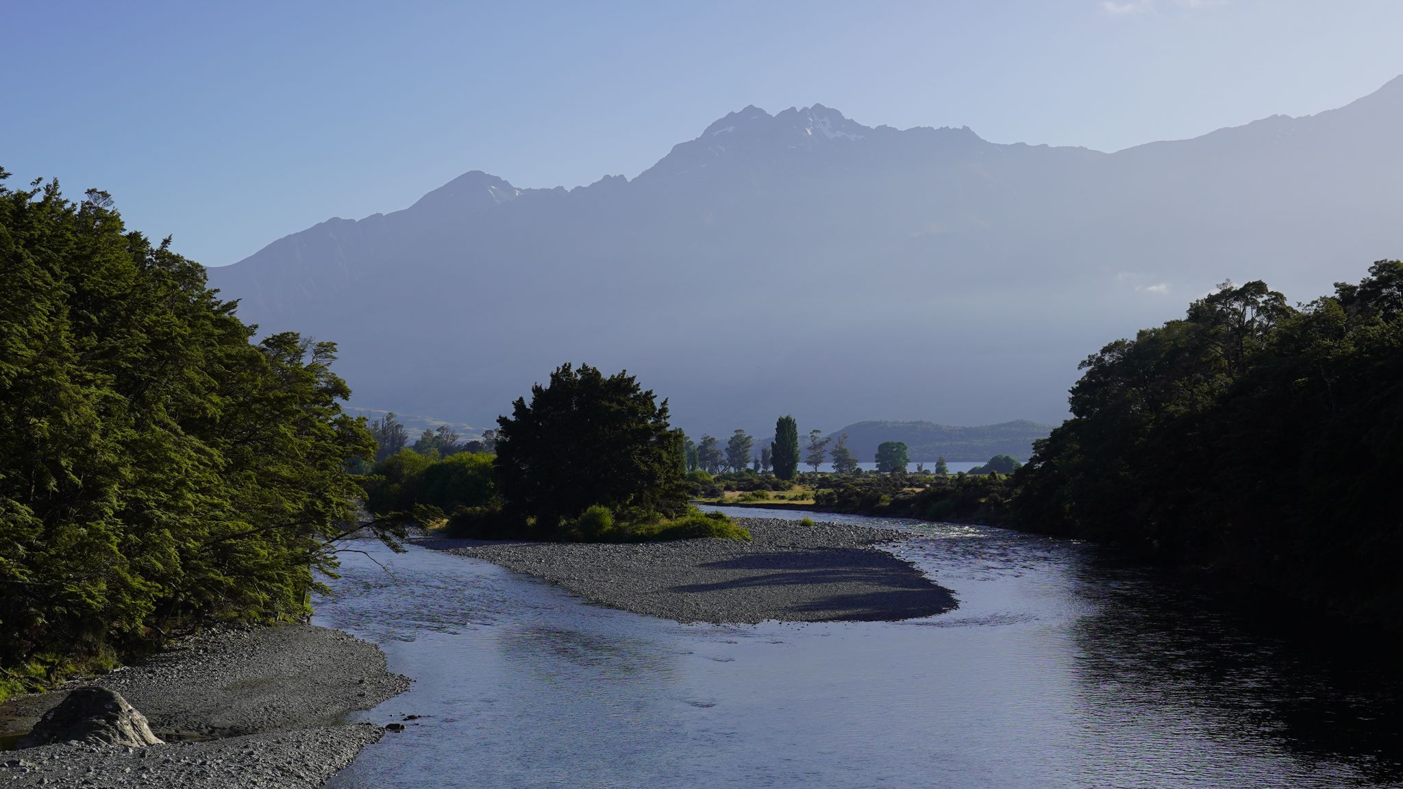


Greenstone river/Earnslaw/farmland/farmland/Elfin Bay/Lake Rere/Greenstone valley/Greenstone track/Caples valley
Local

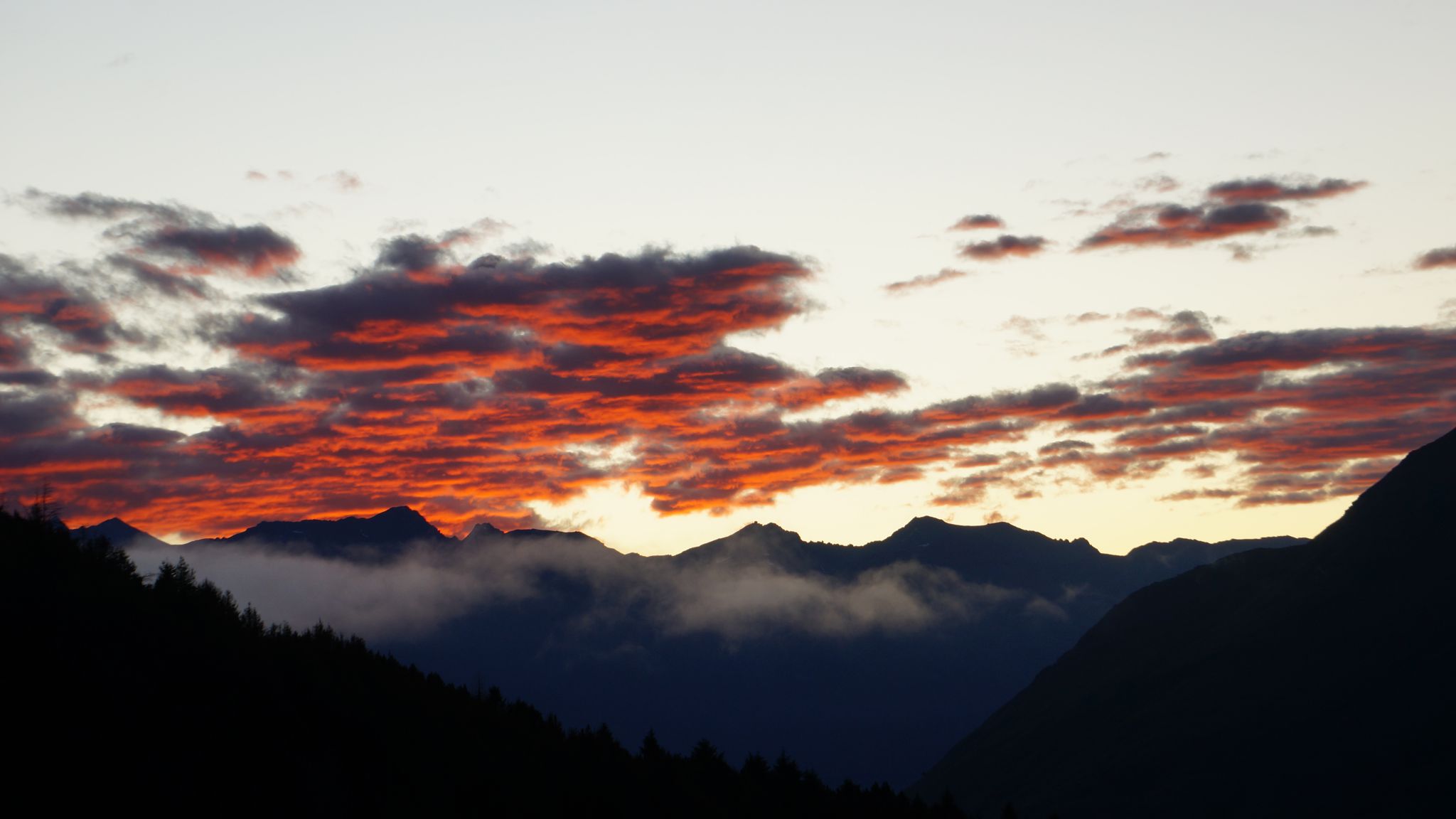
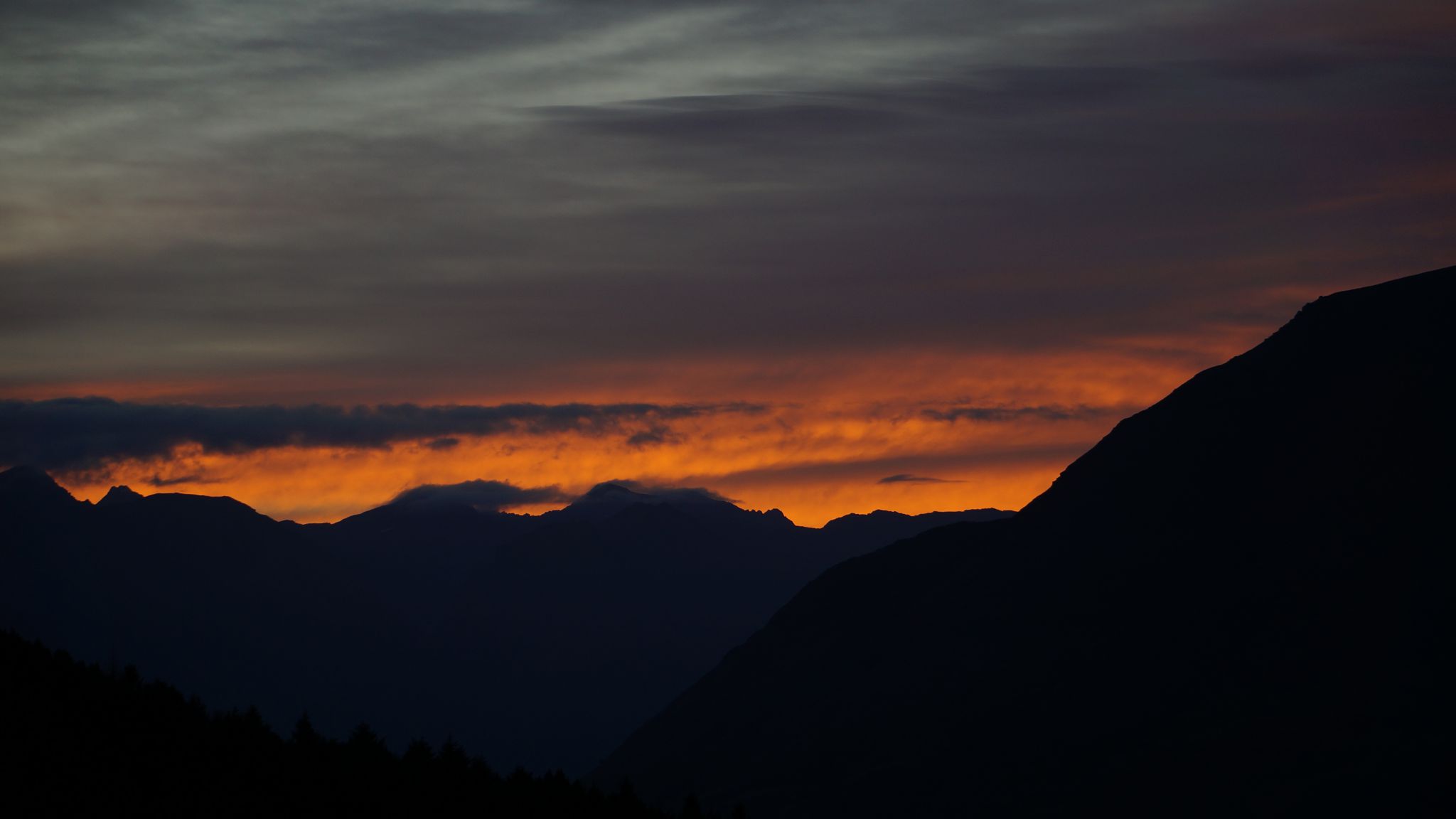

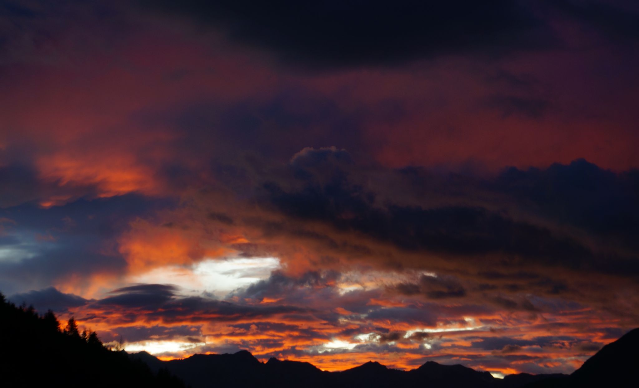
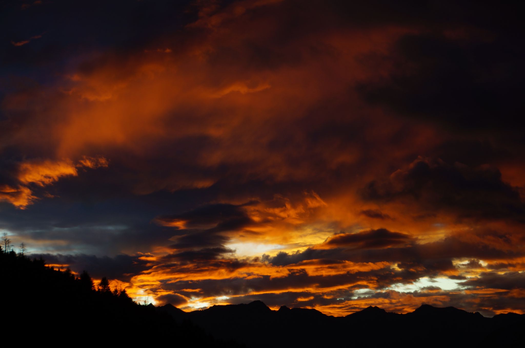
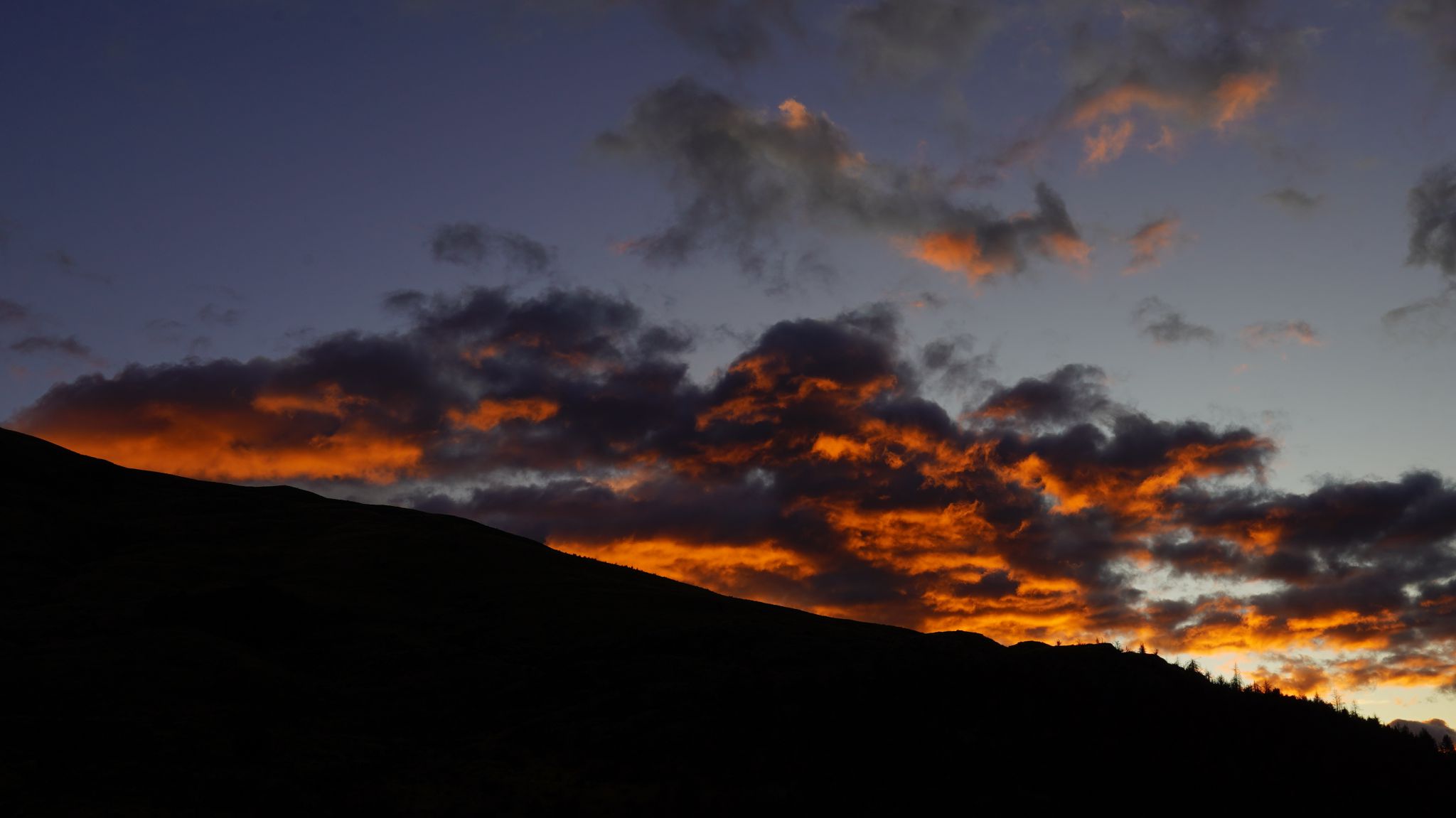 Sunrise
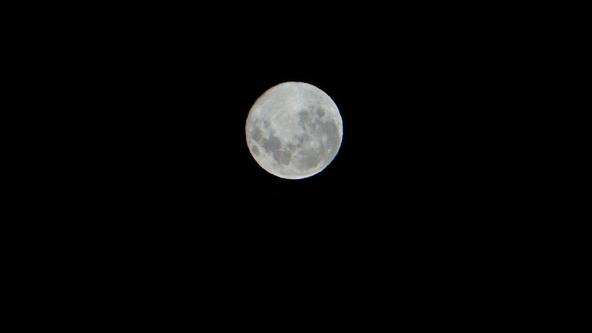
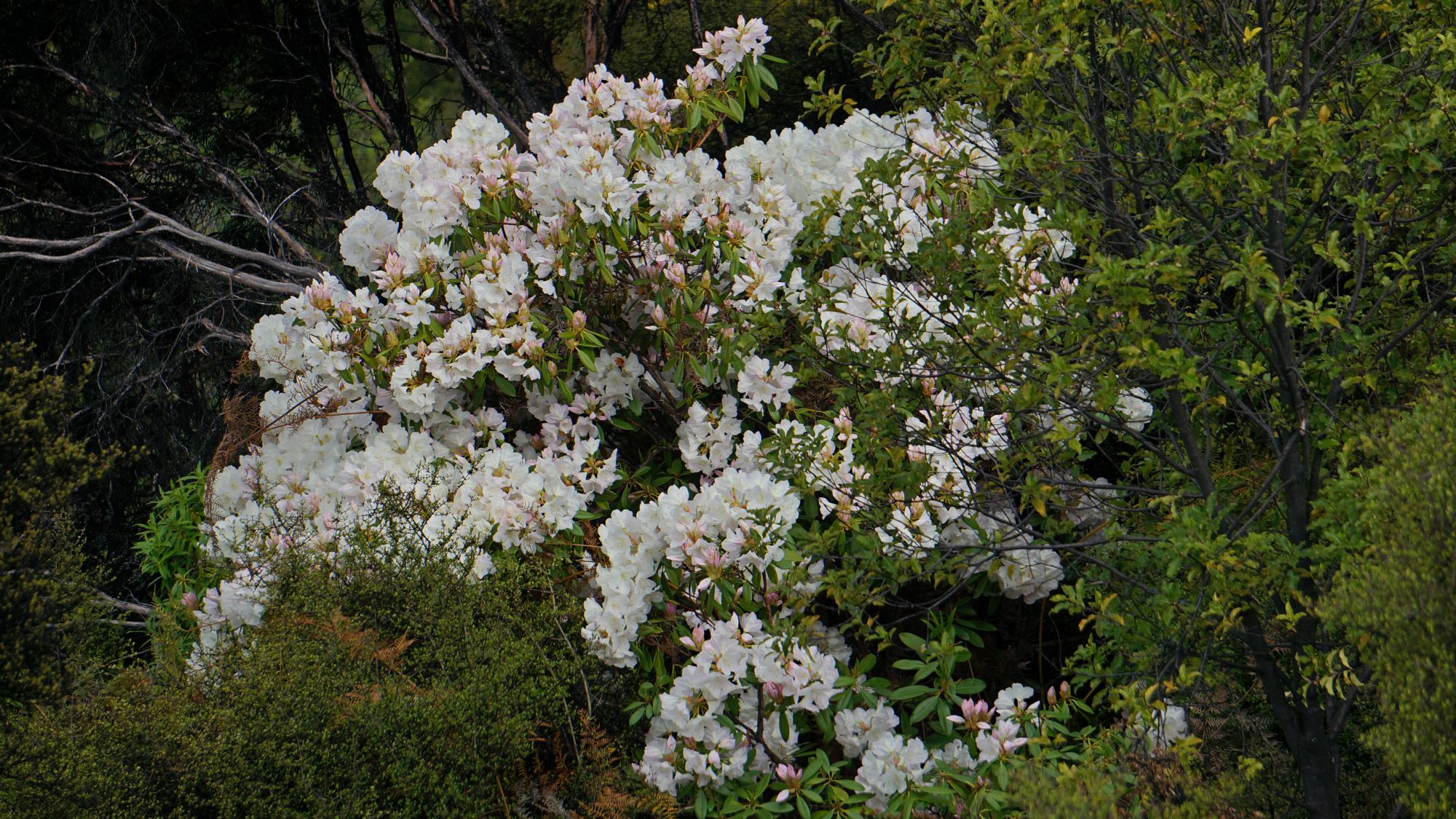
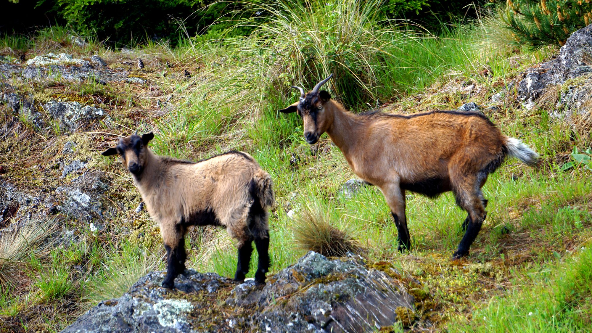 Moon/Rhododendron/Goats/

 Bobs Peak/Ben Lomond/Cecil Peak
Copyright © 2022, J.S. Milne. Email: nz@jmilne.org